Killara County
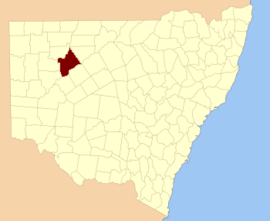
Killara County is one of the 141 Cadastral divisions of New South Wales. The Darling River is its south eastern boundary.
| Killara New South Wales | |||||||||||||||
|---|---|---|---|---|---|---|---|---|---|---|---|---|---|---|---|
 Location in New South Wales | |||||||||||||||
| |||||||||||||||
Killara County was named after Killara Station with Killara believed to be derived from a local Aboriginal word.[1]
Parishes within this county
A full list of parishes found within this county; their current LGA and mapping coordinates to the approximate centre of each location is as follows:
gollark: Why is yours no longer static?
gollark: My JS thing compiles the whole site in a second or so.
gollark: Yes.
gollark: I use markdown-it from npm.
gollark: Write your markdown parser in an esolang?
References
- "Killara". Geographical Names Register (GNR) of NSW. Geographical Names Board of New South Wales. Retrieved 4 August 2013.

This article is issued from Wikipedia. The text is licensed under Creative Commons - Attribution - Sharealike. Additional terms may apply for the media files.