Kariamangalam
Karimangalam is a town and taluk headquarters in Dharmapuri district in the Kongunadu region of Tamil Nadu. It is located at 20km from Dharmapuri and 70km from Salem.
Tera place காரிமங்கலம்
Karimangalam | |
|---|---|
Town | |
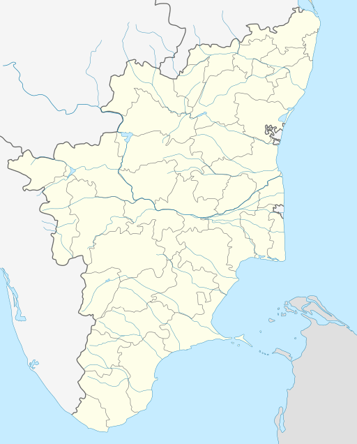 Karimangalam Location in Tamil Nadu, India  Karimangalam Karimangalam (India) | |
| Coordinates: 12.3060°N 78.2045°E | |
| Country | |
| State | Tamil Nadu |
| Region | Kongu Nadu |
| District | Dharmapuri |
| Area | |
| • Total | 11 km2 (4 sq mi) |
| Elevation | 615 m (2,018 ft) |
| Population (2011) | |
| • Total | 13,511 |
| • Density | 1,200/km2 (3,200/sq mi) |
| Languages | |
| • Official | Tamil |
| Time zone | UTC+5:30 (IST) |
| PIN | 635111 |
| Telephone code | 04348 |
| Vehicle registration | TN-29 |
Demographics
As of 2011 India census,[1] Karimangalam had a population of 13,511. Males constitute 50% of the population and females 50%. Karimangalam has an average literacy rate of 58%, lower than the national average of 59.5%: male literacy is 67%, and female literacy is 49%. In Karimangalam, 12% of the population is under 6 years of age.
gollark: Just memorise all airport codes.
gollark: IXT sounds vaguely plausible.
gollark: It is in any case already too late.
gollark: If your throat hurts, probably your immune system is trying to fight off nanoassemblers of some kind. Maybe paperclipper ones.
gollark: Information wants to either be free or sold by GTech™.
References
- "Census of India 2001: Data from the 2001 Census, including cities, villages and towns (Provisional)". Census Commission of India. Archived from the original on 16 June 2004. Retrieved 1 November 2008.
This article is issued from Wikipedia. The text is licensed under Creative Commons - Attribution - Sharealike. Additional terms may apply for the media files.