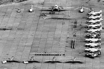
Kamina Air Base
Kamina Air Base (ICAO: FZSA) is a military airport located near Kamina in the Democratic Republic of the Congo.[1]
Kamina Air Base | |||||||||||||||
|---|---|---|---|---|---|---|---|---|---|---|---|---|---|---|---|
 | |||||||||||||||
| Summary | |||||||||||||||
| Airport type | Military | ||||||||||||||
| Operator | Air Force of the Democratic Republic of the Congo | ||||||||||||||
| Location | Kamina, Democratic Republic of the Congo | ||||||||||||||
| Elevation AMSL | 3,543 ft / 1,080 m | ||||||||||||||
| Coordinates | 08°38′31″S 025°15′10″E | ||||||||||||||
| Runways | |||||||||||||||
| |||||||||||||||
Sources:[1] | |||||||||||||||
It was built as part of the Belgian near-national-redoubt concept after World War II.[2] It accommodated ONUC military aircraft during the Congo Crisis.
Facilities
The airport resides at an elevation of 3,543 feet (1,080 m) above mean sea level. It has two runways, each with an asphalt surface measuring 2,700 by 45 metres (8,858 ft × 148 ft).[1]
gollark: ++exec```hsimport Unsafe.Coercemain = putStr $ show (unsafeCoerce putStrLn :: String)```
gollark: …?
gollark: ++exec```hsimport Unsafe.Coercemain = putStr $ show (unsafeCoerce () :: Int)```
gollark: ++exec```hsimport Unsafe.Coercemain = putStr $ show (unsafeCoerce () :: Int)```
gollark: Odd.
References
- Airport information for FZSA from DAFIF (effective October 2006)
- David Isby and Charles Kamps Jr., Armies of NATO's Central Front, Jane's Publishing Company, 1985.
This article is issued from Wikipedia. The text is licensed under Creative Commons - Attribution - Sharealike. Additional terms may apply for the media files.