Kalkrand
Kalkrand is a village in the Hardap Region of southern central Namibia. It is situated between Rehoboth and Mariental on the national road B1.[1][2] The village features a petrol station, schools, a police station and a public clinic. The inhabitants mainly live from small livestock and cattle farming.
Kalkrand | |
|---|---|
Village | |
.jpg) Aerial view of Kalkrand (2019) | |
 Kalkrand | |
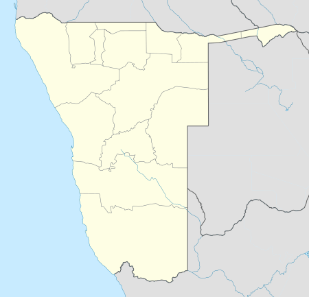
| Coordinates: 24°04′S 17°35′E | |
| Country | |
| Time zone | UTC+2 (South African Standard Time) |
| Climate | BWh |
Politics
Kalkrand is governed by a village council that currently has five seats.[3]
The 2015 local authority election was won by the SWAPO party which gained four seats (399 votes). The remaining seat went to the Rally for Democracy and Progress (RDP) which obtained 121 votes).[4]
gollark: Does it *matter*? "New" doesn't exactly mean much.
gollark: "THE KNOWLEDGE IS PROVIDED "AS IS", WITHOUT WARRANTY OF ANY KIND, EXPRESS OR IMPLIED, INCLUDING BUT NOT LIMITED TO THE WARRANTIES OF UNLEASHING INDESCRIBABLE HORRORS THAT SHATTER YOUR PSYCHE AND SET YOUR MIND ADRIFT IN THE UNKNOWABLY INFINITE COSMOS.", sort of thing?
gollark: And make it large?
gollark: So, how do you plan to move it all to the front?
gollark: Consider: There's a lot of "fine print", hence why it's small.
References
- Sasman, Catherine (16 September 2011). "Kalkrand council mired in controversy". The Namibian. Archived from the original on 21 February 2013.
- "Kalkrand". Archived from the original on 2011-09-09. Retrieved 2011-12-02.
- "Know Your Local Authority". Election Watch (3). Institute for Public Policy Research. 2015. p. 4.
- "Local elections results". Electoral Commission of Namibia. 28 November 2015. p. 2. Archived from the original on 10 December 2015.
This article is issued from Wikipedia. The text is licensed under Creative Commons - Attribution - Sharealike. Additional terms may apply for the media files.