Kalekay Nagra
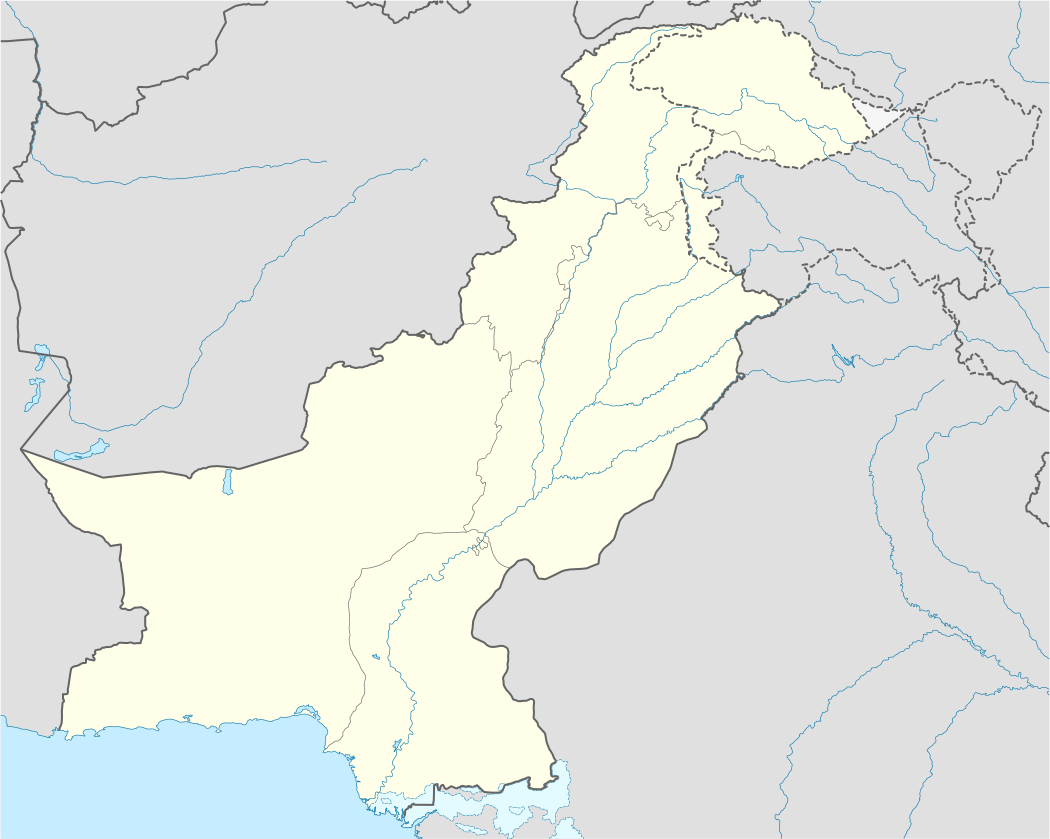
Kalekay Nagra (Urdu: كاليکے ناگرہ), is a suburban village with a population of around 500 in the Tehsil Pasrur and District Sialkot of Punjab province of Pakistan. Administratively it is located in Union Council Adamkay Nagra. It is located at 32° 19' 12.6408 N 74° 29' 28.2804 E with an altitude of 238 metres (784 feet). The nearest big cities are Sialkot, Pasrur, Daska, Narowal and Gujranwala. Marala-Ravi Link Canal passes near it and used to cultivate its fertile land.
كاليکے ناگرہ | |
|---|---|
| Kalekay Nagra | |
 كاليکے ناگرہ | |
| Coordinates: 32°19′12.7698″N 74°29′29.3604″E | |
| Country | |
| Province | Punjab |
| District | Sialkot |
| Tehsil | Pasrur |
| Population (2014) | |
| • Total | 500 |
| Time zone | UTC+5 (PST) |
| Calling code | 052 |
Name
Before the Partition in British era Sikhs, Hindus and Muslims were living in this town. There was a famous landlord Sikh and local leader. His name was Kali Singh. So, after his name this village was given the name of Kalekay. After Independence 1947 it was renamed Kalekay Nagra. Nagra is a family caste meaning "Snake sitting on a path way".
Brief History
Kalekay Nagra was a very small village before the partition of British India in August 1947. Sikhs and Hindus migrated to India but Muslim families stayed. Many people migrated from Indian Punjab during partition and settled in this village.
Gallery
 Canal
Canal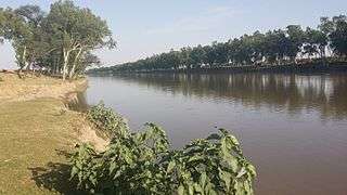 Canal
Canal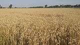 Wheat Fields
 Road to village
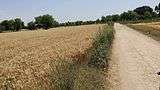 Road to village
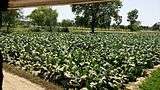 Tobacco Plants
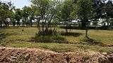 Christian Graveyard
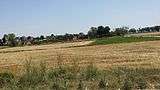 Side View
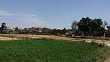 Green View
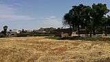 Village Houses
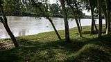 Head Marala Ravi Link
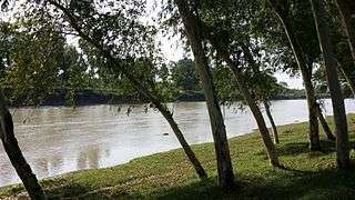 Canal Water
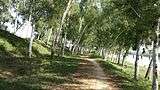 Canal
Canal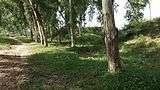 Green Trees
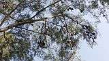 Bats on a Tree. چمگادڑ
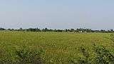 Green rice fields
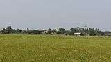 Green fields view
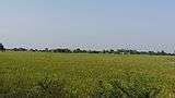 Green fields
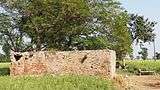 An old dera
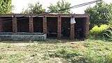 A small form house
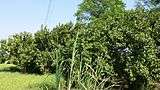 Guava trees
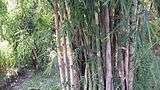 Bamboo plants
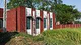 Govt Primary School
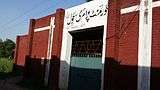 Primary School
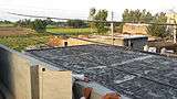 Roof
Roof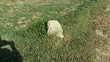 Tebah. A stone.
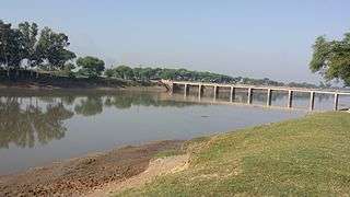 Canal Bridge
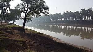 Canal Tree View