Kalagi, Mubende
Kalagi is a settlement in Mubende District in Central Uganda.
Kalagi, Mubende | |
|---|---|
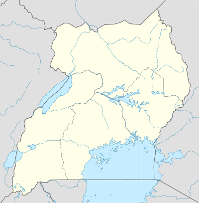 Kalagi, Mubende Location in Uganda | |
| Coordinates: 00°31′01″N 31°38′56″E | |
| Country | |
| District | Mubende District |
Location
The settlement is located approximately 39 kilometres (24 mi) east of Mubende, where the district headquarters are situated.[1] Kalagi is approximately 129 kilometres (80 mi) by road, west of Kampala, Uganda's capital and largest city.[2] The road is an all-weather tarmac highway between Kampala and Mubende. The small village was a coffee growing area in the 1950s and 60s, and is dominated by the family of the late Yosiya Baale of the Nyange clan. He was succeeded by his third son, David Livingstone Seruwu, who died in 2017. The coordinates of Kalagi, Mubende are:0°31'01.0"N, 31°38'56.0"E (Latitude:0.516944; Longitude:31.648889).[3]
gollark: Well, that's different to boring adulty things and jobs.
gollark: I see.
gollark: Also, since they're not very hard you'd probably have a lot of unfilled time if you replaced all school past year 5 with them?
gollark: I would prefer childhood and school to be a respite from the horrors of paperwork and simple but annoying finance things.
gollark: Mortgages are *also* pretty basic maths.
See also
References
- GFC, . (22 July 2015). "Map Showing Mubende And Kalagi With Route Marker". Globefeed.com (GFC). Retrieved 22 July 2015.CS1 maint: numeric names: authors list (link)
- GFC, . (21 July 2015). "Road Distance Between Kampala And Kalagi, Mubende With Map". Globefeed.com (GFC). Retrieved 21 July 2015.CS1 maint: numeric names: authors list (link)
- Google (21 July 2015). "Location of Kalagi, Mubende At Google Maps" (Map). Google Maps. Google. Retrieved 21 July 2015.
External links
This article is issued from Wikipedia. The text is licensed under Creative Commons - Attribution - Sharealike. Additional terms may apply for the media files.