John H. Boylan State Airport
John H. Boylan State Airport (FAA LID: 5B1) is a state-owned public-use airport located three nautical miles (6 km) southeast of the central business district of Island Pond, in Essex County, Vermont, United States.[1]
John H. Boylan State Airport | |||||||||||
|---|---|---|---|---|---|---|---|---|---|---|---|
| Summary | |||||||||||
| Airport type | Public | ||||||||||
| Owner | State of Vermont | ||||||||||
| Serves | Island Pond, Vermont | ||||||||||
| Elevation AMSL | 1,194 ft / 364 m | ||||||||||
| Coordinates | 44°47′24″N 071°49′35″W | ||||||||||
| Map | |||||||||||
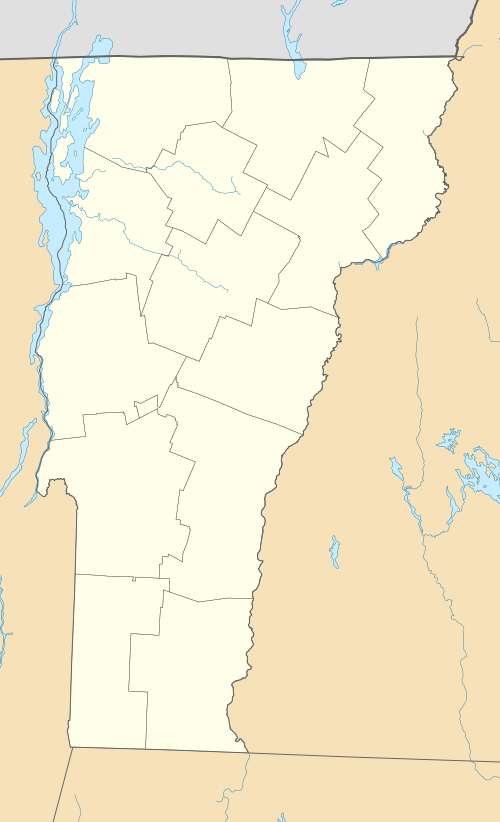 5B1 Location of airport in Vermont | |||||||||||
| Runways | |||||||||||
| |||||||||||
| Statistics (2010) | |||||||||||
| |||||||||||
Facilities and aircraft
The airport is named for John H. Boylan, a political figure who served as President pro tempore of the Vermont State Senate. It covers an area of 188 acres (76 ha) at an elevation of 1,194 feet (364 m) above mean sea level. It has one runway designated 14/32 with a turf surface measuring 2,650 by 120 feet (808 x 37 m).[1]
For the 12-month period ending August 11, 2010, the airport had 200 general aviation aircraft operations, an average of 16 per month. At that time there were five aircraft based at this airport: 60% single-engine and 40% ultralight.[1]
References
- FAA Airport Master Record for 5B1 (Form 5010 PDF). Federal Aviation Administration. Effective November 15, 2012.
External links
- John H. Boylan (5B1) at Vermont Airport Directory
- Aerial image as of May 1999 from USGS The National Map
- Resources for this airport:
- FAA airport information for 5B1
- AirNav airport information for 5B1
- FlightAware airport information and live flight tracker
- SkyVector aeronautical chart for 5B1