Jhaltola
Jhaltola is a small village situated between Chaukori and Patal Bhuvanshwar in the highlands of Uttarakhand state in northern India. It is one of several small villages in the area, with the advantage of being located near Highway 309A.
Jhaltola Jhaltola | |
|---|---|
Village | |
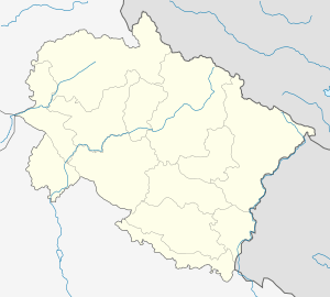
 Jhaltola Location in Uttarakhand, India  Jhaltola Jhaltola (India) | |
| Coordinates: 29.756151°N 80.033928°E | |
| Country | |
| State | Uttarakhand |
| District | Pithoragarh |
| Elevation | 1,889 m (6,198 ft) |
| Languages | |
| • Official | Hindi |
| Time zone | UTC+5:30 (IST) |
| PIN | 262554 |
| Vehicle registration | UK |
| Website | uk |
Jhaltola is known for its views of the Himalayan mountain peaks of the western Kumaun range. Some of the peaks visible from Jhaltola are Trisul, Nanda Devi and Panchchuli.
Transport
The nearest railway station to Jhaltola is Kathgodam which is around 72 km (45 mi) away. The nearest airport is Naini Saini airport which is 27 km (17 mi) away.
Tourism
Jhaltola is surrounded on three sides by mixed forests and has a wide range of Himalayan views and a vibrant flora and fauna. There is an old Shiv temple at the top of the mountain known as Lamkeshwar Mahadev.
Jhaltola is an upcoming offbeat destination for tourists interested in nature, Himalayan views and birding.