Isebania, Tanzania
Isebania, also Isibania, is a town in Tarime District, Mara Region, in northern Tanzania, at the border with Kenya.
Isebania, Tanzania Isibania | |
|---|---|
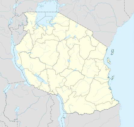 Isebania, Tanzania Location in Tanzania | |
| Coordinates: 01°14′44″S 34°28′32″E | |
| Country | |
| Region | Mara Region |
| District | Tarime District |
| Elevation | 1,522 m (4,993 ft) |
| Time zone | UTC+3 (East Africa Time) |
Location
The town sits at the border, directly south of the town of Isebania, Kenya. It lies approximately 20 kilometres (12 mi) north of Tarime, the location of the district headquarters.[1] This lies approximately 92 kilometres (57 mi) northeast of Musoma, on the eastern shores of Lake Victoria, the nearest large town.[2] The coordinates of the town are: 1°14'44.0"S, 34°28'32.0"E (Latitude:-1.245569; Longitude:34.475555).[3]
Overview
The elevation of Sirari, Tanzania is 1,522 metres (4,993 ft) above sea level.[4]
gollark: If I did that, I would have to write a lot of annoying code to map all the positions onto isometric things, and code to draw the isometric thing in the first place.
gollark: So it just uses the existing grid output code.
gollark: Like I said, the current 3D implementation is very easy because CSS has built-in support for 3D rotations for some odd reason.
gollark: It's annoying to explain, but it would be quite hard.
gollark: Not really, since I just won't.
See also
References
- GFC (2 April 2016). "Distance between Isebania, Tanzania and Tarime, Mara, Tanzania". Globefeed.com (GFC). Retrieved 2 April 2016.
- GFC (2 April 2016). "Distance between Isebania, Tanzania and Musoma, Mara, Tanzania". Globefeed.com (GFC). Retrieved 2 April 2016.
- Google (2 April 2016). "Location of Isebania, Tarime District, Mara Region, Tanzania" (Map). Google Maps. Google. Retrieved 2 April 2016.
- FMN (April 2016). "Elevation of Sirari,Tanzania Elevation Map". Floodmap.net (FMN). Retrieved 1 April 2016.
External links
This article is issued from Wikipedia. The text is licensed under Creative Commons - Attribution - Sharealike. Additional terms may apply for the media files.