Inyo County Airport
Inyo County Airport is a closed airport located east of Fresno, California.
Inyo County Airport Manzanar Airport Inyo County Air Force Auxiliary Field | |||||||||||||||
|---|---|---|---|---|---|---|---|---|---|---|---|---|---|---|---|
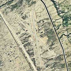 2006 USGS airphoto | |||||||||||||||
| Summary | |||||||||||||||
| Serves | Fresno, California | ||||||||||||||
| Coordinates | 36°44′13″N 118°08′42″W | ||||||||||||||
| Map | |||||||||||||||
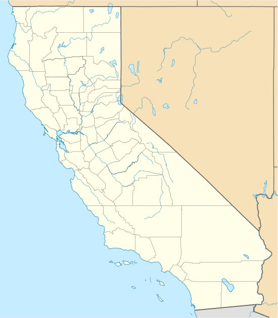 Inyo County Airport Location of Inyo County Airport | |||||||||||||||
| Runways | |||||||||||||||
| |||||||||||||||
History
During World War II, the airport was used by the United States Army Air Forces as an auxiliary training airfield for the flying school at Lone Pine Airport, California.
It was later used as a civil airport. The facility closed sometime in the 1950s. The remains of the runways and ground facilities can be seen in aerial imagery.
gollark: We will process this in 0.23 as to 623 gigayears.
gollark: No, you should subduct.
gollark: Why? RNNs are less efficient to train, thus bad. You get less goodness per FLOP invested.
gollark: RNN bad, however.
gollark: Too bad, I just did.
References
![]()
This article is issued from Wikipedia. The text is licensed under Creative Commons - Attribution - Sharealike. Additional terms may apply for the media files.