Ingolf Fjeld
Ingolf Fjeld is a mountain in King Christian IX Land, Sermersooq, Eastern Greenland.[1]
| Ingolf Fjeld | |
|---|---|
 Ingolf Fjeld | |
| Highest point | |
| Elevation | 1,503 m (4,931 ft) [1] |
| Listing | |
| Coordinates | 66°25′N 35°38′W [1] |
| Geography | |
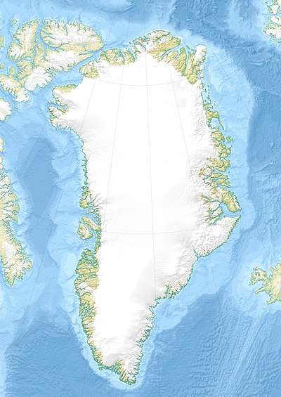
| Location | Sermersooq, Greenland |
An attempt by Danish/British mountaineers to climb this peak was the subject of a 1981 Danish documentary movie named after the mountain.[2]
Geography
The mountain rises steeply from the shore at the northeastern end of the Kangertittivatsiaq fjord.[3] Ingolf Fjeld was mentioned as a 7,300-foot-high (2,225 m) peak by Fridtjof Nansen, who further said that it is the first mountain one sees far out at sea in the Denmark Strait when approaching East Greenland from Iceland.[4] Other sources give an elevation of 2,560 m (8,400 ft).[2]
Freddie Spencer Chapman, the surveyor of the British Arctic Air Route Expedition described the mountain thus:
At the head of the fjord, away in the distance, was a superb pinnacled mountain reminiscent of St. Paul's Cathedral; this was Ingolfs Fjeld.[5]
See also
References
- Google Earth
- IMDb - Ingolf Fjeld (1981)
- "Ingolf Fjeld". Mapcarta. Retrieved 5 January 2019.
- Fridtjof Nansen, In Northern Mists, Volume 1,
- F. Spencer Chapman, Northern Lights, the official account of the British Arctic air-route expedition, 1933 p. 30