Illinois's congressional districts
Illinois is divided into 18 congressional districts, each represented by a member of the United States House of Representatives.
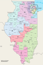
Current districts and representatives
List of members of the Illinois United States House delegation, their terms, district maps, and the districts' political ratings according to the CPVI. The delegation has a total of 18 members, with 13 Democrats and 5 Republicans as of 2018.
| District | Representative | Party | CPVI | Incumbent time in office | District map |
|---|---|---|---|---|---|
| 1st | .jpg) |
Democratic | D+27 | January 3, 1993 – present | .tif.png) |
| 2nd |  |
Democratic | D+29 | April 11, 2013 – present | .tif.png) |
| 3rd | .jpg) |
Democratic | D+6 | January 3, 2005 – present | .tif.png) |
| 4th |  |
Democratic | D+33 | January 3, 2019 – present | .tif.png) |
| 5th | .jpg) |
Democratic | D+20 | April 7, 2009 – present | .tif.png) |
| 6th |  |
Democratic | R+2 | January 3, 2019 – present | .tif.png) |
| 7th | 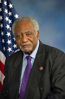 |
Democratic | D+38 | January 3, 1997 – present | .tif.png) |
| 8th |  |
Democratic | D+8 | January 3, 2017 – present | .tif.png) |
| 9th |  |
Democratic | D+18 | January 3, 1999 – present | .tif.png) |
| 10th |  |
Democratic | D+10 | January 3, 2017 – present | .tif.png) |
| 11th |  |
Democratic | D+9 | January 3, 2013 – present | .tif.png) |
| 12th |  |
Republican | R+5 | January 3, 2015 – present | .tif.png) |
| 13th |  |
Republican | R+3 | January 3, 2013 – present | .tif.png) |
| 14th | .jpg) |
Democratic | R+5 | January 3, 2019 – present | .tif.png) |
| 15th |  |
Republican | R+21 | January 3, 1997 – present | .tif.png) |
| 16th |  |
Republican | R+8 | January 3, 2011 – present | .tif.png) |
| 17th |  |
Democratic | D+3 | January 3, 2013 – present | .tif.png) |
| 18th |  |
Republican | R+15 | September 10, 2015 – present | .tif.png) |
Historical and present district boundaries
Table of United States congressional district boundary maps in the State of Illinois, presented chronologically.[2] All redistricting events that took place in Illinois between 1973 and 2013 are shown.
| Year | Statewide map | Chicago highlight |
|---|---|---|
| 1973–1982 | 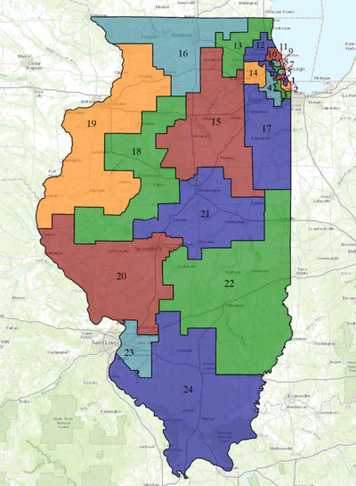 |
%2C_1973_%E2%80%93_1982.tif.png) |
| 1983–1992 | 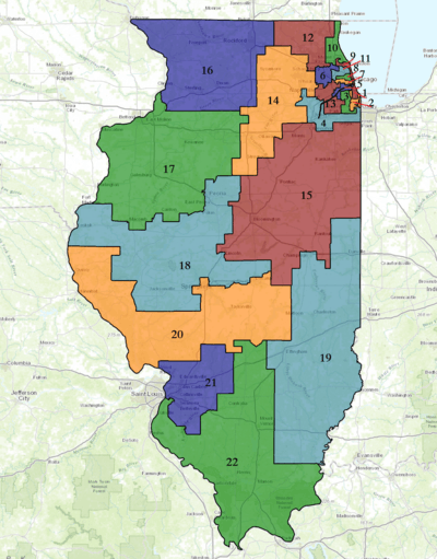 |
%2C_1983_%E2%80%93_1992.tif.png) |
| 1993–2002 | 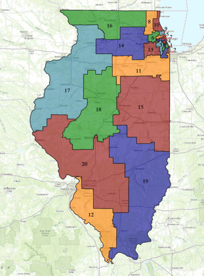 |
%2C_1993_%E2%80%93_2002.tif.png) |
| 2003–2013 | 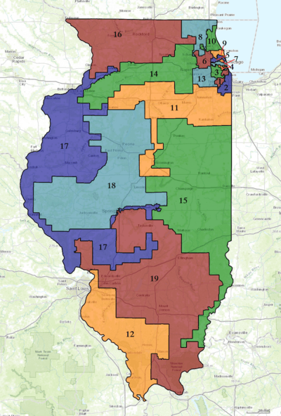 |
%2C_2003_%E2%80%93_2013.tif.png) |
| Since 2013 | 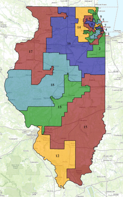 |
%2C_since_2013.tif.png) |
Obsolete districts
- Illinois Territory's at-large congressional district
- Illinois's at-large congressional district
- Illinois's 19th congressional district
- Illinois's 20th congressional district
- Illinois's 21st congressional district
- Illinois's 22nd congressional district
- Illinois's 23rd congressional district
- Illinois's 24th congressional district
- Illinois's 25th congressional district
- Illinois's 26th congressional district
gollark: It seems to have a pretty clear explanation of what you need to do. Did you do that?
gollark: Is there more information on the error than that?
gollark: It does often, but lots of these AI things parallelize well and GPUs have way more raw computing power.
gollark: This is one of the more Cish modern languages around.
gollark: Better error messages are good. Writing more code for worse ones is actually not good.
See also
References
- "The national atlas". nationalatlas.gov. Archived from the original on February 22, 2014. Retrieved February 22, 2014.
- "Digital Boundary Definitions of United States Congressional Districts, 1789–2012". Retrieved October 18, 2014.
This article is issued from Wikipedia. The text is licensed under Creative Commons - Attribution - Sharealike. Additional terms may apply for the media files.