Ikizyak
Nearby towns and villages include Irkeshtam (13 km or 8 mi), and Nura (13 km or 8 mi) south.
Ikizyak | |
|---|---|
 Ikizyak | |
| Coordinates: 39°43′48″N 73°46′48″E | |
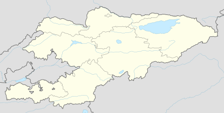
| Country | Kyrgyzstan |
| Region | Osh Region |
| Elevation | 3,191 m (10,469 ft) |
| Time zone | UTC +5 |
Ikizyak is a village in Osh Region of Kyrgyzstan.
Climate
| Climate data for Ikizyak | |||||||||||||
|---|---|---|---|---|---|---|---|---|---|---|---|---|---|
| Month | Jan | Feb | Mar | Apr | May | Jun | Jul | Aug | Sep | Oct | Nov | Dec | Year |
| Average high °C (°F) | −11.0 (12.2) |
−8.7 (16.3) |
−1.9 (28.6) |
7.1 (44.8) |
12.1 (53.8) |
17.0 (62.6) |
20.9 (69.6) |
20.7 (69.3) |
15.7 (60.3) |
8.1 (46.6) |
−0.5 (31.1) |
−7.8 (18.0) |
6.0 (42.8) |
| Daily mean °C (°F) | −15.8 (3.6) |
−13.3 (8.1) |
−6.1 (21.0) |
2.2 (36.0) |
6.6 (43.9) |
10.7 (51.3) |
14.0 (57.2) |
13.7 (56.7) |
8.7 (47.7) |
2.1 (35.8) |
−5.3 (22.5) |
−11.9 (10.6) |
0.5 (32.9) |
| Average low °C (°F) | −20.5 (−4.9) |
−17.9 (−0.2) |
−10.2 (13.6) |
−2.7 (27.1) |
1.2 (34.2) |
4.5 (40.1) |
7.2 (45.0) |
6.7 (44.1) |
1.7 (35.1) |
−3.9 (25.0) |
−10.0 (14.0) |
−16.0 (3.2) |
−5.0 (23.0) |
| Average precipitation mm (inches) | 14 (0.6) |
16 (0.6) |
27 (1.1) |
30 (1.2) |
44 (1.7) |
34 (1.3) |
27 (1.1) |
19 (0.7) |
13 (0.5) |
18 (0.7) |
14 (0.6) |
16 (0.6) |
272 (10.7) |
| Source: Climate-Data.org [1] | |||||||||||||
gollark: What if I release 18257 updates a second with trivial changes?
gollark: Interesting.
gollark: Do you know just how easily distracted I am?
gollark: What if I get bored and never write updates?
gollark: You could try bribing me more directly.
References
- "Climate: Ikizyak". Climate-Data.org. Retrieved July 3, 2018.
External links
This article is issued from Wikipedia. The text is licensed under Creative Commons - Attribution - Sharealike. Additional terms may apply for the media files.