Humar Peak
Humar Peak (Bulgarian: връх Хумар, romanized: vrah Humar, IPA: [ˈvrɤx xoˈmar]) is the rocky peak rising to 1300 m in Austa Ridge on Oscar II Coast in Graham Land, and surmounting Jorum Glacier to the north, and Veselie Glacier to the south. The feature is named after the Bulgar town of Humar in Northern Caucasus in 2nd-7th century.
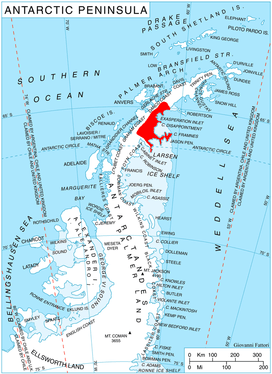
Location of Oscar II Coast on Antarctic Peninsula.
Location
Humar Peak is located at 65°14′36″S 62°12′03″W, which is 5.9 km south-southwest of Yordanov Nunatak, 9.14 km west of Caution Point, and 5.5 km north-northwest of Mount Birks. British mapping in 1976.
Maps
- British Antarctic Territory. Scale 1:200000 topographic map. DOS 610 Series, Sheet W 65 62. Directorate of Overseas Surveys, Tolworth, UK, 1976.
- Antarctic Digital Database (ADD). Scale 1:250000 topographic map of Antarctica. Scientific Committee on Antarctic Research (SCAR). Since 1993, regularly upgraded and updated.
gollark: Is there a lambda calculus interface?
gollark: Rüsτ!
gollark: Unfortunately.
gollark: I mean what's *that* useful for?
gollark: https://esolangs.org/wiki/Embedded_HQ9%2B
References
- Humar Peak. SCAR Composite Antarctic Gazetteer.
- Bulgarian Antarctic Gazetteer. Antarctic Place-names Commission. (details in Bulgarian, basic data in English)
External links
- Humar Peak. Copernix satellite image
This article includes information from the Antarctic Place-names Commission of Bulgaria which is used with permission.
This article is issued from Wikipedia. The text is licensed under Creative Commons - Attribution - Sharealike. Additional terms may apply for the media files.