Houghtonville Historic District
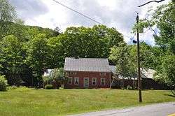
The Houghtonville Historic District encompasses a cluster of residential properties that are all that remain of one of the early industrial areas of Grafton, Vermont. Located west of Grafton Village on Houghtonville Road (Vermont Route 121), it includes ten well-preserved 19th-century houses, some located on properties where early mills once stood. The district was listed on the National Register of Historic Places in 2015.[1]
Houghtonville Historic District | |
 | |
  | |
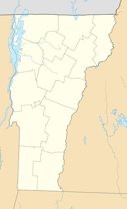
| Location | Houghtonville, Stagecoach & Cabell Rds., Grafton, Vermont |
|---|---|
| Coordinates | 43°11′52″N 72°38′51″W |
| Area | 218 acres (88 ha) |
| NRHP reference No. | 15000583[1] |
| Added to NRHP | September 8, 2015 |
Description and history
The area that is now Grafton was first chartered in 1754, but only began to see permanent settlement in the late 1770s, in the town's Middletown section. Grafton Village developed around the confluence of two branches of the Saxtons River, a tributary of the Connecticut River.[2] Houghtonville, located about 3 miles (4.8 km) up the North Branch Saxtons River from Grafton Village, developed around a mill and homesteads established on the river by the Houghton family. The mills operated through the 19th century, closing in the early 20th century. The village grew to include a post office and schoolhouse, both buildings still standing. In the 1910s and 1920s some of the older houses were rehabilitated for use as summer residences.[3]
The historic district extends westward along Houghtonville Road, from its junction with Cabell Road past the junction with Stagecoach Road. It includes properties a short way up Stagecoach Road, as well as the bridge across the River on Cabell Road, which is an early concrete bridge built about 1921 (or possibly after the New England Hurricane of 1938; there is some disagreement in available documentation). The district includes three large farm properties, whose acreage contributes to the rural feel of the area; most of the other buildings are set on small lots close to the road. Also included are the archaeological remains of two of the mills that once powered the village economy.[3]
See also
| Wikimedia Commons has media related to Houghtonville Historic District. |
References
- "National Register Information System". National Register of Historic Places. National Park Service. July 9, 2010.
- "NRHP nomination for Grafton Village Historic District" (PDF). State of Vermont. Retrieved 2015-12-02.
- "NRHP nomination for Houghtonville Historic District" (PDF). State of Vermont. Archived from the original (PDF) on 2015-12-22. Retrieved 2015-12-14.