Homkund
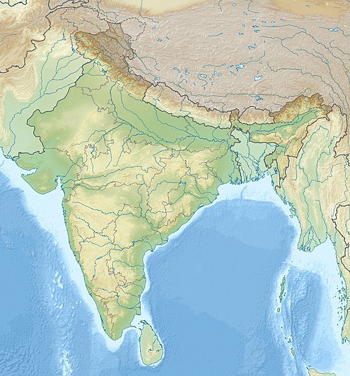
Homkund, also spelled Hom Kund is a high-altitude mountain pond located in Chamoli District, Uttarakhand State, India. Located at a height of 12,323 feet (3,756 m) above sea level, it is in the middle of snow-covered valleys.[1] Two Himalayan peaks, Trisul and Nanda Ghunti are near Homkund.[1]
| Homkund | |
|---|---|
| Hom Kund | |
 Homkund | |
| Location | Uttarakhand, India |
| Coordinates | 30.33091641°N 79.74387600°E |
| Type | high-altitude mountain pond |
| Surface elevation | 12,323 feet (3,756 m) |
The geo-location of Homkund lake is: 30.33091641°N 79.74387600°E [2]
Trekking
Homkund has become a trekking destination in recent years and those who trek to Roopkund consider this as another trekking destination, as Homkund is located near Roopkund.[1]
Homkund falls on the popular trek route to Ronti Saddle, a mountain pass between Nanda Ghungti and Trishul. It takes a trek of 3 days from Roopkund crossing the Junargali Pass to reach there. You can also reach there from a different route starting from the village of Sutol and passing by Latakhopri and Chandaniya Ghat.[3]
References
- "Roopkund lake's skeleton mystery solved! Scientists reveal bones belong to 9th century people who died during heavy hail storm". India Today. 31 May 2013. Retrieved 12 June 2013.
- "Homekund Lake Details".
- "Ronti Saddle - Roopkund - Homkund Trek".