Holm of Skaw
The Holm of Skaw is a small islet off the northeast coast of the island of Unst. It is just northeast of the settlement of Skaw. The island is 57 feet (17 m) in height.[1] There is a lighthouse on the island.[2] Tidal currents are slack between Holm of Skaw and Herma Ness at high water, and the passage may be made by small boats. The Skaw Röst, a dangerous tidal race, forms off the shore of the Holm of Skaw and Lamba Ness.[3]
| Location | |
|---|---|
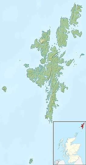 Holm of Skaw | |
| Coordinates | 60.832918°N 0.771446°W |
| Physical geography | |
| Island group | Shetland |
| Highest elevation | 57 feet (17 m) |
| Administration | |
| Sovereign state | United Kingdom |
| Country | Scotland |
| Council area | Shetland Islands |
| Demographics | |
| Population | 0 |
Gallery
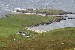 Skaw from the Ward of Norwick The most northerly house in Britain in the foreground and the Holm of Skaw beyond.
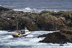 Creel boat in the channel between Holm of Skaw and Inner Flaess
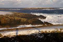 View to Holm of Skaw from Lamba Ness on a cold raw winter's day
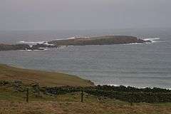 Looking across to the Holm of Skaw
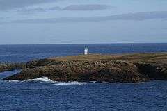 Holm of Skaw From Houlls-nef
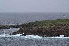 Holm of Skaw The lighthouse above the narrow channel between Holm of Skaw and Inner Flaess.
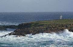 The channel between Holm of Skaw and Inner Flaess, on the left, often used as a short cut by boats
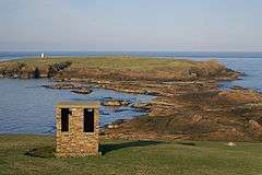 In the foreground is a building from the former RAF Skaw and in the background is the Holm of Skaw, with its lighthouse. At low tide it seems that it should be possible to walk out to the holm, but a deep channel runs between the rocks.
gollark: ???
gollark: Ah, "kni jn".
gollark: q
gollark: Check the method reference.
gollark: It is in the documentation.
References
Citations
- United States Hydrographic Office 1950, p. 345.
- Taylor 2010, p. 48.
- United States Hydrographic Office 1950, p. 254.
Sources
- Taylor, Roger D. (2010). Mingming & the Art of Minimal Ocean Sailing. Troubador Publishing Ltd. ISBN 978-0-9558035-1-2. Retrieved 2013-02-04.CS1 maint: ref=harv (link)
- United States Hydrographic Office (1950). Sailing directions for the north and east coasts of Scotland: Cape Wrath to Fife Ness and including the Orkney, Shetland and Faeroe Islands. U.S. Govt. Print. Off. p. 345. Retrieved 2013-02-04.CS1 maint: ref=harv (link)
| Wikimedia Commons has media related to Holm of Skaw. |
This article is issued from Wikipedia. The text is licensed under Creative Commons - Attribution - Sharealike. Additional terms may apply for the media files.