Holdfast Point
Holdfast Point (66°48′S 66°36′W) is both the northeast side of the entrance to Lallemand Fjord and the northwest side of the entrance to Chepra Cove on Pernik Peninsula in Graham Land, Antarctica, situated about 12 nautical miles (22 km) southwest of Cape Rey. It was mapped from air photos taken by the Falkland Islands and Dependencies Aerial Survey Expedition (1956–57), and was so named because when the pack ice breaks out to the north of Lallemand Fjord, it usually continues to hold fast for some time longer south of this point.[1]
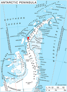
Location of Pernik Peninsula on Loubet Coast, Antarctic Peninsula.
Maps
- Antarctic Digital Database (ADD). Scale 1:250000 topographic map of Antarctica. Scientific Committee on Antarctic Research (SCAR), 1993–2016.
- British Antarctic Territory. Scale 1:200000 topographic map. DOS 610 Series, Sheet W 66 64. Directorate of Overseas Surveys, Tolworth, UK, 1976.
gollark: You can selectively mute @everyone pings you know.
gollark: Have you tried having fewer pings?
gollark: Actually, there are. I was bored, so I nondestructively scanned your brain and ran a trillion copies of you in a simulation indistinguishable from reality except that the sky is blue mostly, instead of indigo.
gollark: They still receive the events. Mine is programmed to not ignore them for funlolz.
gollark: Most bots and bot libraries just *deliberately ignore* others.
References
- "Holdfast Point". Geographic Names Information System. United States Geological Survey. Retrieved 2012-06-21.
![]()
This article is issued from Wikipedia. The text is licensed under Creative Commons - Attribution - Sharealike. Additional terms may apply for the media files.