Hoher Hagen (Dransfeld)
The Hoher Hagen is a volcanic hill that is still 480 m high today, in the Dransfeld Municipal Forest, in the German district of Göttingen in South Lower Saxony.
| Hoher Hagen | |
|---|---|
 | |
| Highest point | |
| Elevation | 480 m above sea level (NN) (1,570 ft) |
| Coordinates | 51°28′26″N 9°45′57″E |
| Geography | |
 Hoher Hagen | |
| Geology | |
| Mountain type | volcano |
| Type of rock | basalt extrusion |
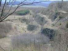
View into the basalt quarry in January 2007
Geography
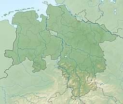
The hill, which is located south of Dransfeld, is the highest point in the Dransfeld region by a long way. It lies within the Dransfeld Municipal Forest, a hill massif in the Münden Nature Park that is about halfway between Göttingen to the northeast and Hann. Münden to the southwest.
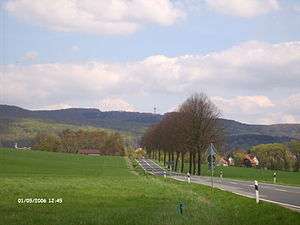
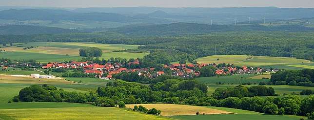 View of Jühnde from the Gauß Tower on the Hoher Hagen
Gauß Tower
On top of the Hoher Hagen stands the Gauß Tower, a 51 metre high observation tower at 478 m above NN.
Sources
- Rehkop, Friedel: Stadt Dransfeld. Ein geschichtlicher Rückblick vom 19. Jahrhundert bis zur Frühzeit. Vol. 1. Horb am Neckar: Geiger-Verlag, 1999. S.196-200,352-360,387-397. ISBN 3-89570-561-6
gollark: You only get to submit a FIXED base 10 integer in the format `[0-9]+` using information *you* know.
gollark: You get to submit an integer, not a function or something.
gollark: It is not.
gollark: Summary: yes.
gollark: An integer between -2^31 and 2^31-1 maybe, for purposes.
References
External links
This article is issued from Wikipedia. The text is licensed under Creative Commons - Attribution - Sharealike. Additional terms may apply for the media files.