Hogg Island, Guyana
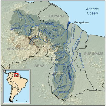
Hogg Island, (sometimes referred to as Hog Island)[1] is the largest of the hundreds of islands in the Essequibo River in Guyana, it is located just 5 km from the river's mouth in its estuary into the Atlantic Ocean, located at 6°49′27″N 58°31′54″W.
With a total area of 60 square kilometres (23 sq mi) this island is larger than many Caribbean islands. Its 250 residents are engaged mainly in the farming of rice and ground provisions. The population has decreased a lot because of migration to other parts of Guyana, However, there is still a primary school and a church on Hogg Island.
Wild Name
The island used to be controlled by the Dutch when it was known as Varken Eiland[1] or Hog Island, so named due to it being inhabited by a large number of wild hogs. Then in 1814 with the cessation of the Napoleonic Wars the British gained control of the Dutch colonies: Demerara, Berbice, and Essequibo, leaving the Dutch with Suriname until 1975. The British had decided to keep the name of the island as the Dutch did "Hogg Island".