Hewelsfield and Brockweir
Hewelsfield and Brockweir is a civil parish in Forest of Dean District, Gloucestershire. The parish was called Hewelsfield until 1994. It contains two distinct villages, Hewelsfield and Brockweir, with scattered settlement on Hewelsfield common.
| Hewelsfield and Brockweir | |
|---|---|
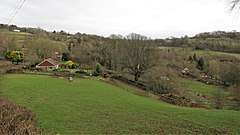
 Hewelsfield Common | |
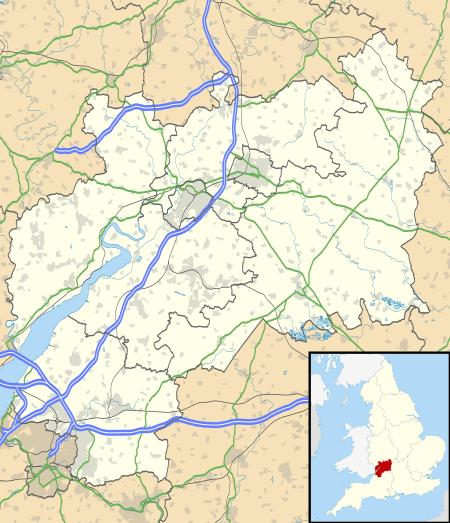
 Hewelsfield and Brockweir Location within Gloucestershire | |
| Area | 8.0302 km2 (3.1005 sq mi) [1] |
| Population | 484 [1] (2011 Census) |
| • Density | 60/km2 (160/sq mi) |
| OS grid reference | SO558020 |
| Civil parish |
|
| District | |
| Shire county | |
| Region | |
| Country | England |
| Sovereign state | United Kingdom |
| Post town | Lydney |
| Postcode district | GL15 |
| Post town | Chepstow |
| Postcode district | NP16 |
| Police | Gloucestershire |
| Fire | Gloucestershire |
| Ambulance | South Western |
| UK Parliament | |
| Website | Hewelsfield and Brockweir Parish Council |
History
Until 1842 Hewelsfield parish was in three parts. The main part comprised farmland on high ground, having Hewelsfield village as its centre. Below and to the west, a detached part of only a few acres, Cutt's Orchard, lay on the north side of Brockweir brook. On the bank of the Wye another detached part included the part of Brockweir village lying north of Brockweir brook. The part of the village south of the brook (which included the Moravian Church) was in Woolaston parish.
In 1842 an adjoining tract of extraparochial land, which became known as Hewelsfield common, was added to Hewelsfield for civil parish purposes, uniting the detached parts of the parish. The parish was further enlarged in 1935 by the addition of an arm of Woolaston parish, extending down the south side of the valley of Brockweir brook to the Wye at the village of Brockweir.[2]
Parish council
Hewelsfield and Brockweir Parish Council consists of 7 Councillors and a Clerk. It meets monthly, except in August, at the Brockweir and Hewelsfield Village Shop.[3]
Listed Buildings
The parish contains 36 listed buildings: two churches (St Mary Magdalen, Hewelsfield and Brockweir Moravian Church), a churchyard wall, 17 chest tombs (in the churchyard of St Mary Magdalen, Hewelsfield), a pair of limekilns, a milepost, two bridges and 12 houses.[4]
Lists of the listed buildings can be found in the Wikipedia articles on the villages of Hewelsfield and Brockweir.
Scheduled Monuments
The parish contains six scheduled monuments: five sections of Offa's Dyke, and Hewelsfield Motte.[4]
| Monument name | List Entry Number |
|---|---|
| Offa's Dyke: section 65m north of Brook House | 1020596 |
| Offa's Dyke: section in Cutt's Orchard, 230m south east of Brook House | 1020597 |
| Offa's Dyke: section on Madgett Hill, 290m south east of Brook House | 1020598 |
| Offa's Dyke: section on Madgett Hill, 380m south east of Brook House | 1020599 |
| Offa's Dyke: section on Madgett Hill, 580m west of The Old Mill | 1020600 |
| Motte Castle 57m south-west of Church of St Mary Magdalene | 1407096 |
Community Shop
The parish is served by the Brockweir and Hewelsfield Village Shop and Café, a non-profit making community enterprise, staffed by volunteers from the local community.
References
- "Hewelsfield and Brockweir Parish: Local Area Report". nomis (official labour market statistics). Office for National Statistics. Retrieved 4 February 2020.
- Baggs, A P; Jurica, A R J. "'Hewelsfield and Brockweir', in A History of the County of Gloucester: Volume 5, Bledisloe Hundred, St. Briavels Hundred, the Forest of Dean, ed. C R J Currie and N M Herbert (London, 1996), pp. 150-159". British History Online. Institute of Historical Research. Retrieved 30 October 2019.
- "Hewelsfield and Brockweir Parish Council". Hewelsfield and Brockweir Parish Council. Retrieved 31 October 2019.
- "Historic England". Retrieved 31 October 2019.