Harz (Landkreis Goslar)
Harz is an unincorporated area in the German district of Goslar.
Harz | |
|---|---|
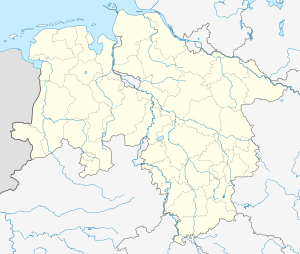
Location of Harz (Landkreis Goslar) within Goslar district _in_GS.svg.png) | |
 Harz  Harz | |
| Coordinates: 51°47′N 10°25′E | |
| Country | Germany |
| State | Lower Saxony |
| District | Goslar |
| Area | |
| • Total | 371.56 km2 (143.46 sq mi) |
| Population (2018-12-31)[1] | |
| • Total | 0 |
| • Density | 0.0/km2 (0.0/sq mi) |
| Time zone | CET/CEST (UTC+1/+2) |
The uninhabited area is located in the Upper Harz (Lower Saxony). With a size of 371.76 km² (31 December 2006), it is the largest unincorporated area in Germany. Although there are no residents reported, it carries administrative functions; the Community Identification Number is 03 1 53 504. The area extends over large parts of the Upper Harz, from Seesen/Langelsheim in the northwest to Hohegeiß in the south of the district of Goslar. The unincorporated area Harz in the district of Goslar has many enclaves: Thus, the districts Wildemann and Altenau-Schulenberg in the Upper Harz of the mountain and university town Clausthal-Zellerfeld, the Braunlage district of Sankt Andreasberg and other settlements (mostly restaurants) are completely included.
The administration of the community-free area is incumbent on the Lower Saxony Forestry Office Clausthal,[2] which also takes from some quarries business taxes and in cases of civil status the corresponding certificate (birth certificate, death certificate) issues. It also provides security and order.
References
- Landesamt für Statistik Niedersachsen, LSN-Online Regionaldatenbank, Tabelle 12411: Fortschreibung des Bevölkerungsstandes, Stand 31. Dezember 2018.
- Gemeindefreies Gebiet Harz Archived 2016-06-01 at the Wayback Machine auf www.landesforsten.de, abgerufen am 1. Juni 2016