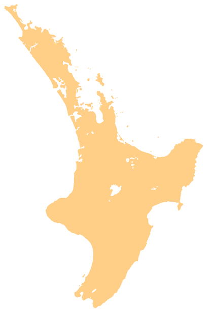
Harrisville, New Zealand
Harrisville is a locality about 3 km northeast of Tuakau and 5.5 km southeast of Pukekohe in the North Island of New Zealand.
Harrisville | |
|---|---|
Locality | |
 Harrisville | |
| Coordinates: 37.2394°S 174.952°E | |
| Country | New Zealand |
| Region | Waikato |
| District | Waikato District |
| Elevation | 80 m (260 ft) |
| Population (2013 census) | |
| • Total | 108 |
| Time zone | UTC+12 (NZST) |
| • Summer (DST) | UTC+13 (NZDT) |
Harrisville is in meshblocks 0828202 (SE) and 0828302 (NW), which had a combined population of 108 people in 33 households in the 2013 New Zealand census.[1]
The area was named for an early landowner and politician, Major Harris, and was largely settled by Danes.[2][3][4]
Education
Harrisville School is a co-educational state primary school covering years 1 to 6,[5] with a roll of 198 as of March 2020.[6] The school opened in 1877.[7] In the 2019 Education Review Office report, 38% of the students were Māori.[8]
gollark: I see.
gollark: They aren't really very writable, so I don't think I'd want to use them for boot disks.
gollark: Although blu-rays are more capacious.
gollark: They're still probably useful for write-once backups.
gollark: Use a Raspberry Pi, obviously.
References
- "2013 Census map – QuickStats about a place". archive.stats.govt.nz. Retrieved 24 August 2019.
- "Harrisville". The Cyclopedia of New Zealand. 2. Auckland Povincial District. 1902.
- "The Franklin North Election". Timaru Herald. XXXVI (2414). 17 June 1882. p. 2.
- "Untitled". Auckland Star. XXIV (283). 29 November 1893.
- Education Counts: Harrisville School
- "New Zealand Schools Directory". New Zealand Ministry of Education. Retrieved 26 April 2020.
- "Welcome to Harrisville Primary School". Harrisville School. Retrieved 24 August 2019.
- "Harrisville School - 28/05/2019". Education Review Office. 28 May 2019. Retrieved 24 August 2019.
This article is issued from Wikipedia. The text is licensed under Creative Commons - Attribution - Sharealike. Additional terms may apply for the media files.