Hando
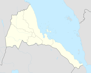
Hando, also known as Antu Ghebir, Hàmda and Hānda Desēt, is an island of the Southern Red Sea Region of Eritrea.
 Hando Location | |
| Geography | |
|---|---|
| Location | Red Sea |
| Coordinates | 14.7908°N 40.8067°E[1] |
| Area | 2.99 km2 (1.15 sq mi) |
| Highest elevation | 12 m (39 ft) |
| Administration | |
| Region | Southern Red Sea Region |
Geography
Hando is a coastal island located facing the Bay of Anfile of the Red Sea. Smaller Keda Hando lies close to its larger neighbour off its southern shore.[2]
gollark: The issue isn't dead zones as much as inaccurate positioning, which can occur in some naïve setups.
gollark: I use GTech™ TrilateratorGPS™, which uses one computer and four modems, so they need to be close together.
gollark: In which I explain how to configure GPS hosts (although I think squid has more recent advice on this?).
gollark: https://wiki.computercraft.cc/GPS_Hosts
gollark: In which I futilely try and get people to actually secure things.
This article is issued from Wikipedia. The text is licensed under Creative Commons - Attribution - Sharealike. Additional terms may apply for the media files.