Hamasa
Hamasa (Arabic: حَمَاسَة, romanized: Ḥamāsah) is an area in the Buraimi area in Oman on the Oman–United Arab Emirates border.[1] Hamasa, for the period of 200 years, was the capital of the Buraimi district.
Hamasa حَمَاسَة | |
|---|---|
Town | |
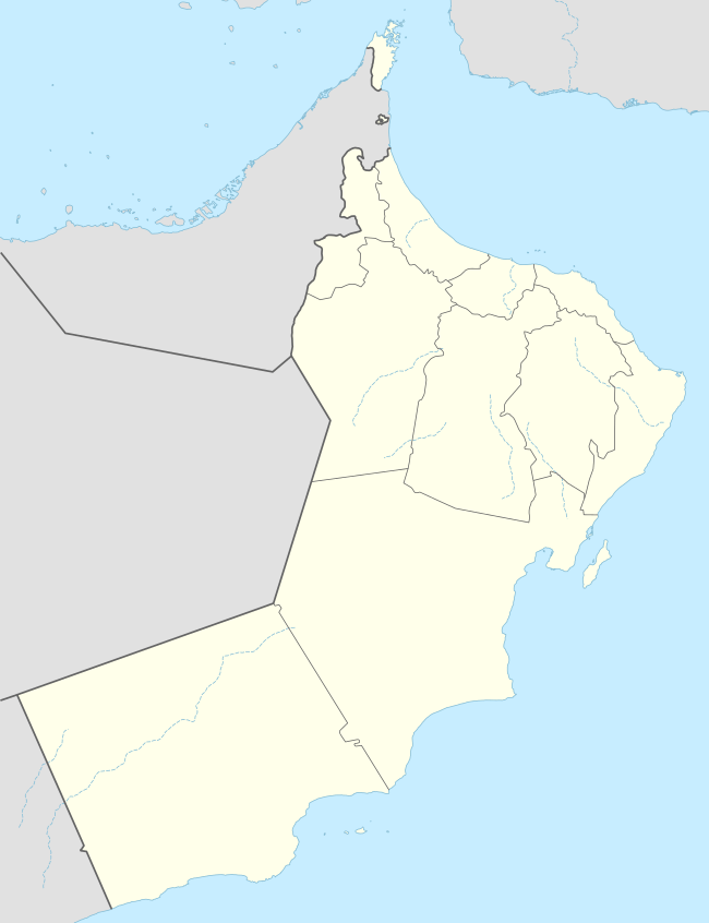 Hamasa Location in Oman | |
| Coordinates: 24°14′N 55°46′E | |
| Country | |
| Governorate | Al Buraimi |
| Time zone | UTC+4 (+4) |
History
Being part of the region of Tawam or Al-Buraimi Oasis, Hamasa's history dates back thousands of years, and in 2015 was the site of archaeological investigations undertaken by Sultan Qaboos University, the Omani Ministry of Heritage & Culture and Zayed University. It was described by the explorer Wilfred Thesiger as being involved in the slave trade when he visited in the 1940s.[1]
gollark: <:chips:453465151132139521> <:chips:453465151132139521> <:chips:453465151132139521> <:chips:453465151132139521> <:chips:453465151132139521> <:chips:453465151132139521> <:chips:453465151132139521> <:chips:453465151132139521> <:chips:453465151132139521> <:chips:453465151132139521> <:chips:453465151132139521> <:chips:453465151132139521> <:chips:453465151132139521> <:chips:453465151132139521> <:chips:453465151132139521> <:chips:453465151132139521> <:chips:453465151132139521> <:chips:453465151132139521> <:chips:453465151132139521> <:chips:453465151132139521> <:chips:453465151132139521> <:chips:453465151132139521> <:chips:453465151132139521> <:chips:453465151132139521> <:chips:453465151132139521> <:chips:453465151132139521> <:chips:453465151132139521> <:chips:453465151132139521> <:chips:453465151132139521> <:chips:453465151132139521> <:chips:453465151132139521> <:chips:453465151132139521> <:chips:453465151132139521> <:chips:453465151132139521> <:chips:453465151132139521> <:chips:453465151132139521> <:chips:453465151132139521> <:chips:453465151132139521> <:chips:453465151132139521> <:chips:453465151132139521> <:chips:453465151132139521> <:chips:453465151132139521> <:chips:453465151132139521> <:chips:453465151132139521> <:chips:453465151132139521> <:chips:453465151132139521> <:chips:453465151132139521> <:chips:453465151132139521> <:chips:453465151132139521> <:chips:453465151132139521> <:chips:453465151132139521> <:chips:453465151132139521> <:chips:453465151132139521> <:chips:453465151132139521> <:chips:453465151132139521> <:chips:453465151132139521> <:chips:453465151132139521> <:chips:453465151132139521>
gollark: <:chips:453465151132139521> <:chips:453465151132139521> <:chips:453465151132139521> <:chips:453465151132139521> <:chips:453465151132139521> <:chips:453465151132139521> <:chips:453465151132139521> <:chips:453465151132139521> <:chips:453465151132139521> <:chips:453465151132139521> <:chips:453465151132139521> <:chips:453465151132139521> <:chips:453465151132139521> <:chips:453465151132139521> <:chips:453465151132139521> <:chips:453465151132139521> <:chips:453465151132139521> <:chips:453465151132139521> <:chips:453465151132139521> <:chips:453465151132139521> <:chips:453465151132139521> <:chips:453465151132139521> <:chips:453465151132139521> <:chips:453465151132139521> <:chips:453465151132139521> <:chips:453465151132139521> <:chips:453465151132139521> <:chips:453465151132139521> <:chips:453465151132139521> <:chips:453465151132139521> <:chips:453465151132139521> <:chips:453465151132139521> <:chips:453465151132139521> <:chips:453465151132139521> <:chips:453465151132139521> <:chips:453465151132139521> <:chips:453465151132139521> <:chips:453465151132139521> <:chips:453465151132139521> <:chips:453465151132139521> <:chips:453465151132139521> <:chips:453465151132139521> <:chips:453465151132139521> <:chips:453465151132139521> <:chips:453465151132139521> <:chips:453465151132139521> <:chips:453465151132139521> <:chips:453465151132139521> <:chips:453465151132139521> <:chips:453465151132139521> <:chips:453465151132139521> <:chips:453465151132139521> <:chips:453465151132139521> <:chips:453465151132139521> <:chips:453465151132139521> <:chips:453465151132139521> <:chips:453465151132139521> <:chips:453465151132139521>
gollark: <:chips:453465151132139521> <:chips:453465151132139521> <:chips:453465151132139521> <:chips:453465151132139521> <:chips:453465151132139521> <:chips:453465151132139521> <:chips:453465151132139521> <:chips:453465151132139521> <:chips:453465151132139521> <:chips:453465151132139521> <:chips:453465151132139521> <:chips:453465151132139521> <:chips:453465151132139521> <:chips:453465151132139521> <:chips:453465151132139521> <:chips:453465151132139521> <:chips:453465151132139521> <:chips:453465151132139521> <:chips:453465151132139521> <:chips:453465151132139521> <:chips:453465151132139521> <:chips:453465151132139521> <:chips:453465151132139521> <:chips:453465151132139521> <:chips:453465151132139521> <:chips:453465151132139521> <:chips:453465151132139521> <:chips:453465151132139521> <:chips:453465151132139521> <:chips:453465151132139521> <:chips:453465151132139521> <:chips:453465151132139521> <:chips:453465151132139521> <:chips:453465151132139521> <:chips:453465151132139521> <:chips:453465151132139521> <:chips:453465151132139521> <:chips:453465151132139521> <:chips:453465151132139521> <:chips:453465151132139521> <:chips:453465151132139521> <:chips:453465151132139521> <:chips:453465151132139521> <:chips:453465151132139521> <:chips:453465151132139521> <:chips:453465151132139521> <:chips:453465151132139521> <:chips:453465151132139521> <:chips:453465151132139521> <:chips:453465151132139521> <:chips:453465151132139521> <:chips:453465151132139521> <:chips:453465151132139521> <:chips:453465151132139521> <:chips:453465151132139521> <:chips:453465151132139521> <:chips:453465151132139521> <:chips:453465151132139521>
gollark: <:chips:453465151132139521> <:chips:453465151132139521> <:chips:453465151132139521> <:chips:453465151132139521> <:chips:453465151132139521> <:chips:453465151132139521> <:chips:453465151132139521> <:chips:453465151132139521> <:chips:453465151132139521> <:chips:453465151132139521> <:chips:453465151132139521> <:chips:453465151132139521> <:chips:453465151132139521> <:chips:453465151132139521> <:chips:453465151132139521> <:chips:453465151132139521> <:chips:453465151132139521> <:chips:453465151132139521> <:chips:453465151132139521> <:chips:453465151132139521> <:chips:453465151132139521> <:chips:453465151132139521> <:chips:453465151132139521> <:chips:453465151132139521> <:chips:453465151132139521> <:chips:453465151132139521> <:chips:453465151132139521> <:chips:453465151132139521> <:chips:453465151132139521> <:chips:453465151132139521> <:chips:453465151132139521> <:chips:453465151132139521> <:chips:453465151132139521> <:chips:453465151132139521> <:chips:453465151132139521> <:chips:453465151132139521> <:chips:453465151132139521> <:chips:453465151132139521> <:chips:453465151132139521> <:chips:453465151132139521> <:chips:453465151132139521> <:chips:453465151132139521> <:chips:453465151132139521> <:chips:453465151132139521> <:chips:453465151132139521> <:chips:453465151132139521> <:chips:453465151132139521> <:chips:453465151132139521> <:chips:453465151132139521> <:chips:453465151132139521> <:chips:453465151132139521> <:chips:453465151132139521> <:chips:453465151132139521> <:chips:453465151132139521> <:chips:453465151132139521> <:chips:453465151132139521> <:chips:453465151132139521> <:chips:453465151132139521>
gollark: <:chips:453465151132139521> <:chips:453465151132139521> <:chips:453465151132139521> <:chips:453465151132139521> <:chips:453465151132139521> <:chips:453465151132139521> <:chips:453465151132139521> <:chips:453465151132139521> <:chips:453465151132139521> <:chips:453465151132139521> <:chips:453465151132139521> <:chips:453465151132139521> <:chips:453465151132139521> <:chips:453465151132139521> <:chips:453465151132139521> <:chips:453465151132139521> <:chips:453465151132139521> <:chips:453465151132139521> <:chips:453465151132139521> <:chips:453465151132139521> <:chips:453465151132139521> <:chips:453465151132139521> <:chips:453465151132139521> <:chips:453465151132139521> <:chips:453465151132139521> <:chips:453465151132139521> <:chips:453465151132139521> <:chips:453465151132139521> <:chips:453465151132139521> <:chips:453465151132139521> <:chips:453465151132139521> <:chips:453465151132139521> <:chips:453465151132139521> <:chips:453465151132139521> <:chips:453465151132139521> <:chips:453465151132139521> <:chips:453465151132139521> <:chips:453465151132139521> <:chips:453465151132139521> <:chips:453465151132139521> <:chips:453465151132139521> <:chips:453465151132139521> <:chips:453465151132139521> <:chips:453465151132139521> <:chips:453465151132139521> <:chips:453465151132139521> <:chips:453465151132139521> <:chips:453465151132139521> <:chips:453465151132139521> <:chips:453465151132139521> <:chips:453465151132139521> <:chips:453465151132139521> <:chips:453465151132139521> <:chips:453465151132139521> <:chips:453465151132139521> <:chips:453465151132139521> <:chips:453465151132139521> <:chips:453465151132139521>
See also
References
- Leech, Nick (2015-10-22). "The long read: has a lost Arab capital been found on the Oman-UAE border?". The National. Retrieved 2019-01-20.
This article is issued from Wikipedia. The text is licensed under Creative Commons - Attribution - Sharealike. Additional terms may apply for the media files.