Hagen Fjord
Hagen Fjord is a fjord in north-eastern Greenland. It was named after Niels Peter Høeg Hagen, the cartographer of the main exploration team of the ill-fated Denmark expedition.
| Hagen Fjord | |
|---|---|
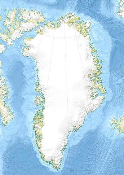
 Hagen Fjord Location in Greenland | |
| Location | Arctic |
| Coordinates | 81°40′N 25°30′W |
| Ocean/sea sources | Wandel Sea |
| Basin countries | Greenland |
| Max. length | 90 km (56 mi) |
| Max. width | 19 km (12 mi) |
Geography
It opens into the southern shore of the Independence Fjord at its northern end, between J.C. Christensen Land to the west and Mylius-Erichsen Land to the east, near the confluence of Denmark Sound and Independence Fjord.[1] The Hagen Glacier has its terminus at the head of the fjord.
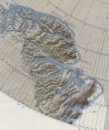
 Map of Northeastern Greenland
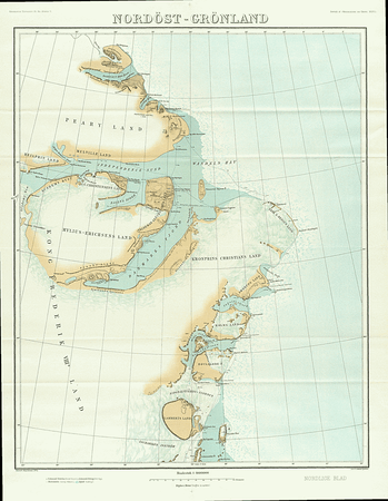
 1911 map of NE Greenland showing the Denmark Fjord
gollark: ?remind 666h Yes, speaking with the future is indeed an enjoyable activity.
gollark: If you can figure out some algorithms for handling it, AutoBotRobot could do messages to the past.
gollark: ?remind 666h That's it. Someone find me a time machine.
gollark: maybe.
gollark: Oh, right, I should add a languages list option.
See also
This article is issued from Wikipedia. The text is licensed under Creative Commons - Attribution - Sharealike. Additional terms may apply for the media files.