Grindstone Creek (Algoma District)
Grindstone Creek is a stream in the Unorganized North Part of Algoma District in Northeastern Ontario, Canada.[1][2][3][4] It is in the Great Lakes Basin and is a left tributary of the Mississagi River.
| Grindstone Creek | |
|---|---|
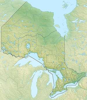 Location of the mouth of Grindstone Creek in Ontario | |
| Location | |
| Country | Canada |
| Province | Ontario |
| Region | Northeastern Ontario |
| District | Algoma |
| Physical characteristics | |
| Source | Unnamed lake |
| • location | Rioux Township |
| • coordinates | 46°43′42″N 83°17′36″W |
| • elevation | 436 m (1,430 ft) |
| Mouth | Mississagi River |
• location | Dagle Township |
• coordinates | 46°41′03″N 83°22′34″W[1] |
• elevation | 300 m (980 ft) |
| Basin features | |
| River system | Great Lakes Basin |
Course
The stream begins at an unnamed lake in geographic Rioux Township.[2][5] It flows southwest to another unnamed lake and continues southwest into Upper Grindstone Lake. The lake trends southwest into the northwest corner of geographic Wagg Township;[2][6] the creek then flows southwest into Grindstone Lake. The lake trends southwest into geographic Dagle Township.[2][7] Grindstone Creek leaves Grindstone Lake at the southwest, continues in a southwest direction, passes under Ontario Highway 129, and reaches its mouth at the Mississagi River. The Mississagi River flows to the North Channel on Lake Huron.
See also
References
- "Grindstone Creek". Geographical Names Data Base. Natural Resources Canada. Retrieved 2018-03-19.
- "CLAIMaps IV". Ontario Ministry of Northern Development and Mines. 2016. Retrieved 2018-03-19.
- Map 12 (PDF) (Map). 1 : 1,600,000. Official road map of Ontario. Ministry of Transportation of Ontario. 2016-01-01. Retrieved 2018-03-19.
- Restructured municipalities - Ontario map #4 (Map). Restructuring Maps of Ontario. Ontario Ministry of Municipal Affairs and Housing. 2006. Retrieved 2018-03-19.
- "Rioux" (PDF). Geology Ontario - Historic Claim Maps. Ontario Ministry of Northern Development, Mines and Forestry. Retrieved 2018-03-19.
- "Wagg" (PDF). Geology Ontario - Historic Claim Maps. Ontario Ministry of Northern Development, Mines and Forestry. Retrieved 2018-03-19.
- "Dagle" (PDF). Geology Ontario - Historic Claim Maps. Ontario Ministry of Northern Development, Mines and Forestry. Retrieved 2018-03-19.