Größnitz
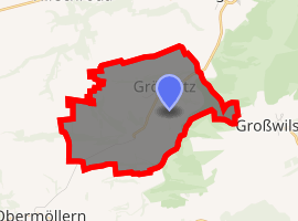
Größnitz is a village and a former municipality in the Burgenlandkreis district, in Saxony-Anhalt, Germany. Since July 1, 2009, it has been part of the municipality of Balgstädt.
Größnitz | |
|---|---|
Ortsteil of Balgstädt | |
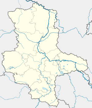
Location of Größnitz 
| |
 Größnitz  Größnitz | |
| Coordinates: 51°10′59″N 11°43′0″E | |
| Country | Germany |
| State | Saxony-Anhalt |
| District | Burgenlandkreis |
| Town | Balgstädt |
| Area | |
| • Total | 6.29 km2 (2.43 sq mi) |
| Elevation | 206 m (676 ft) |
| Population (2006-12-31) | |
| • Total | 167 |
| • Density | 27/km2 (69/sq mi) |
| Time zone | CET/CEST (UTC+1/+2) |
| Postal codes | 06632 |
| Dialling codes | 034464 |
| Vehicle registration | BLK |
| Website | www.vgem-unstruttal.de |
Geography
Großnitz is located between Halle (Saale) and Weimar .
The district of towns was part of the former municipality of Großesnitz.
History
Großnitz and the other towns belonged to the Wettiner, later Electoral Saxon office of Freyburg until 1815. The decisions of the Congress of Vienna were to give them to Prussia, and in 1816 the county of Querfurt in the administrative district of Merseburg of Saxony Province, was allocated to them until 1944.[1]
On July 1, 1950, the previously independent municipality was incorporated into cities.
Großernitz was incorporated into the municipality of Balgstädt on July 1, 2009.[2]
Coat of Arms
Blazon: "In silver a green lily in the gate opening of a continuous, black-grooved red wall abutting at the top on a curved green shield base covered with a curved silver strip."
The coat of arms symbols are based on several local features. The high stone archways are ones that often belong to the homesteads, which are symbolized in the coat of arms by a jointed wall. In the gate opening is the heraldic lily - not as a symbol of purity and innocence, as is often the case - but rather in real terms related to the wild orchids that are common in the region around Großesnitz. The fact that Großesnitz and its district of towns are located on a mountain is indicated by the arched green shield base covered with a curved silver bar. The coat of arms was designed in 2006 by the municipal heraldist Jörg Mantzsch and he was included in the approval process.
The representing colors of the area are green and white.
References
- "Willkommen bei Gemeindeverzeichnis.de". www.gemeindeverzeichnis.de. Retrieved 2020-08-07.
- "Gebietsänderungen vom 02. Januar bis 31. Dezember 2009". Statistisches Bundesamt (in German). Retrieved 2020-08-07.