Gräbersberg
The Gräbersberg, at 513.1 m above sea level (NHN),[1] the highest point in the western Westerwald, a low mountain range in central Germany whose western region extens from the Nister river in the east to the Rhine in the west. On the slopes of the Gräbersberg lies the village of Alpenrod, part of the collective municipality of Hachenburg. South of the hill is the protected area of the Westerwald Lake District and village of Lochum.
| Gräbersberg | |
|---|---|
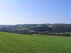 The Gräbersberg from the northeast | |
| Highest point | |
| Elevation | 513.1 m above sea level (NHN) (1,683 ft) [1] |
| Listing | Mobile radio and viewing tower |
| Coordinates | 50°37′31.6″N 7°51′3.2″E |
| Geography | |
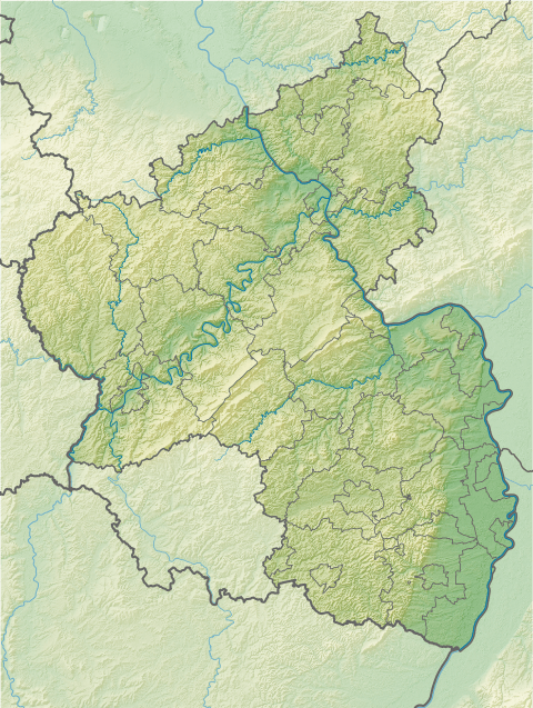 Gräbersberg Near Alpenrod | |
| Parent range | Westerwald |
Viewing tower
In 1998, a 73-metre-high viewing tower, the Gräbersberg Tower, was erected at the summit by mobile telephone operator, E-Plus. At 33 metres above the ground there is a viewing platform which is 8.5 metres in diameter.
Panorama

gollark: Er, it seems vaguely interesting, sure?
gollark: I can't exactly rigorously mathematically define interesting or something.
gollark: ...
gollark: I don't know.
gollark: However, we also have really stupid problems such as having a dynamic IP and stuff, so reliability is only something like 98%.
References
- Map services of the Federal Agency for Nature Conservation
External links
This article is issued from Wikipedia. The text is licensed under Creative Commons - Attribution - Sharealike. Additional terms may apply for the media files.