Gloucester County, New South Wales
Gloucester County was one of the original Nineteen Counties in New South Wales, and is now one of the 141 cadastral divisions of New South Wales. It includes the area around Port Stephens. It is bounded on the north and west by the Manning River, and on the south-west by the Williams River.
| Gloucester New South Wales | |||||||||||||||
|---|---|---|---|---|---|---|---|---|---|---|---|---|---|---|---|
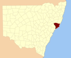 Location in New South Wales | |||||||||||||||
| |||||||||||||||
Overview
Gloucester County was named after County Gloucester, England.[1]
Parishes within this county
A full list of parishes found within this county, their current LGA and mapping coordinates to the approximate centre of each location is as follows:
gollark: THAT'S IT!
gollark: I think even AE2 handles a few cases differently to how any human doing it would like.
gollark: If there's a way to dump EMC values, it may be partly possible to solve that thing.
gollark: It's fine if you just want to craft one thing using a preprogrammed pattern.
gollark: !
References
- "Gloucester (County)". Geographical Names Register (GNR) of NSW. Geographical Names Board of New South Wales. Retrieved 30 December 2007.

External links
This article is issued from Wikipedia. The text is licensed under Creative Commons - Attribution - Sharealike. Additional terms may apply for the media files.