Glazne Buttress
Glazne Buttress (Bulgarian: рид Глазне, ‘Rid Glazne’ \'rid gla-'zne\) is the ice-covered buttress rising to 1650 m in the southeast foothills of Detroit Plateau on Nordenskjöld Coast in Graham Land. It is situated between Arrol Icefall and upper Aleksiev Glacier, and has precipitous, partly ice-free northeast and south slopes. The feature is named after Glazne River in Southwestern Bulgaria.
Location
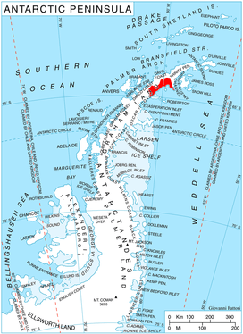
Glazne Buttress is located at 64°35′10″S 60°38′40″W, which is 13.7 km west-southwest of the summit of Kableshkov Ridge, 13.8 km west of Spoluka Point, 9.85 km north of Papiya Nunatak, and 9.7 km east-southeast of Konstantin Buttress. British mapping in 1978.
Maps
- British Antarctic Territory. Scale 1:200000 topographic map. DOS 610 Series, Sheet W 64 60. Directorate of Overseas Surveys, Tolworth, UK, 1978.
- Antarctic Digital Database (ADD). Scale 1:250000 topographic map of Antarctica. Scientific Committee on Antarctic Research (SCAR). Since 1993, regularly upgraded and updated.
References
- Glazne Buttress. SCAR Composite Antarctic Gazetteer.
- Bulgarian Antarctic Gazetteer. Antarctic Place-names Commission. (details in Bulgarian, basic data in English)
External links
- Glazne Buttress. Copernix satellite image
This article includes information from the Antarctic Place-names Commission of Bulgaria which is used with permission.