Giles Airport
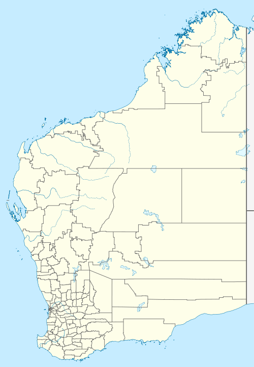
Giles Airport services the Warakurna Community and the Giles Weather Station in eastern Western Australia. The airstrip was built during April and May 1956 by a team led by Len Beadell as part of establishing the weather station for the British nuclear tests at Maralinga and the Woomera Test Range. It is adjacent to the Gunbarrel Highway (also constructed by Beadell) and the more recently constructed Great Central Road.
Giles Airport | |||||||||||
|---|---|---|---|---|---|---|---|---|---|---|---|
| Summary | |||||||||||
| Location | Giles Weather Station | ||||||||||
| Opened | 1956 | ||||||||||
| Elevation AMSL | 579 ft / 176 m | ||||||||||
| Coordinates | 25.0436993°S 128.2960052°E | ||||||||||
| Map | |||||||||||
 Giles Airport | |||||||||||
| Runways | |||||||||||
| |||||||||||
This article is issued from Wikipedia. The text is licensed under Creative Commons - Attribution - Sharealike. Additional terms may apply for the media files.