Gereb Segen (May Gabat)
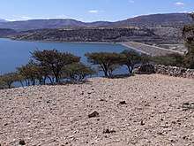
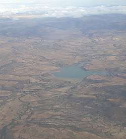
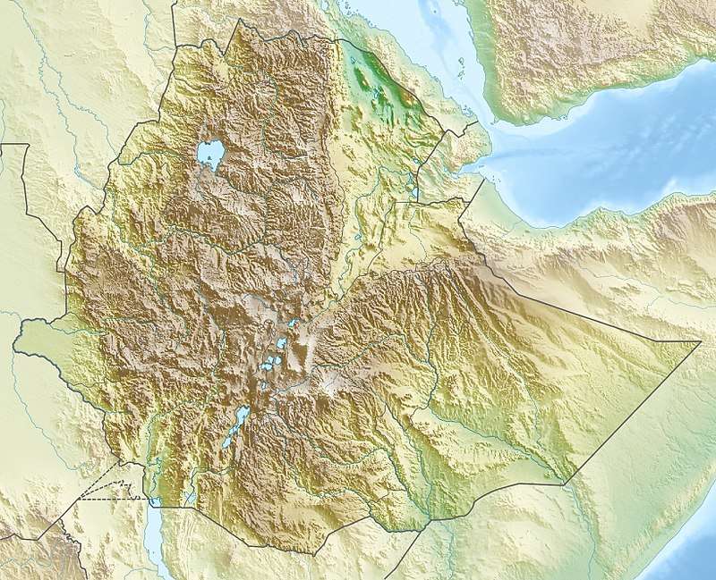
Gereb Segen is a reservoir located in the Inderta woreda of the Tigray Region in Ethiopia. The earthen dam that holds the reservoir was built in 2016 by the Tigray Water Bureau, with the main aim of providing Mekelle with water.

| Gereb Segen | |
|---|---|
 | |
 Gereb Segen | |
| Coordinates | 13.404°N 39.4°E |
| Type | Freshwater artificial lake |
| Primary inflows | May Gabat |
| Primary outflows | May Gabat |
| Basin countries | Ethiopia |
| Surface area | 1.3 km2 (0.50 sq mi) |
| Surface elevation | 1,869 m (6,132 ft) |
Challenges
In 2018-2019 the reservoir was unable to sustain the water needs of Mekelle
- Pipe diameters are underfit
- Leakage through the abutment

Irrigation
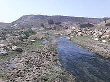
Though the reservoir was not intended for irrigation, its seepage water is used in the downstream valley for irrigation. The lithology of the catchment is Antalo Limestone.[2] Part of the water is lost through seepage;[3] the positive side-effect is that this contributes to groundwater recharge,[4] and it allows irrigation by the downstream communities.
Homonymous places
There is a (much smaller) reservoir with the same name, some 20 km to the southeast: Gereb Segen (Hintalo).
References
- Vanmaercke, M. and colleagues (2010). "Sediment dynamics and the role of flash floods in sediment export from medium-sized catchments: a case study from the semi-arid tropical highlands in northern Ethiopia". Journal of Soils and Sediments. 10 (4): 611–627. doi:10.1007/s11368-010-0203-9.
- De Wit, Joke (2003). Stuwmeren in Tigray (Noord-Ethiopië): kenmerken, sedimentatie en sediment-bronnen. Unpub. M.Sc. thesis. Department of Geography, K.U.Leuven.
- https://link.springer.com/article/10.1007/s10064-019-01577-0#Sec8 Electrical resistivity imaging and engineering geological investigation of Gereb Segen dam, northern Ethiopia
- Nigussie Haregeweyn, and colleagues (2008). "Sediment yield variability in Northern Ethiopia: A quantitative analysis of its controlling factors". Catena. 75: 65–76. doi:10.1016/j.catena.2008.04.011.