Gaule Bjerg
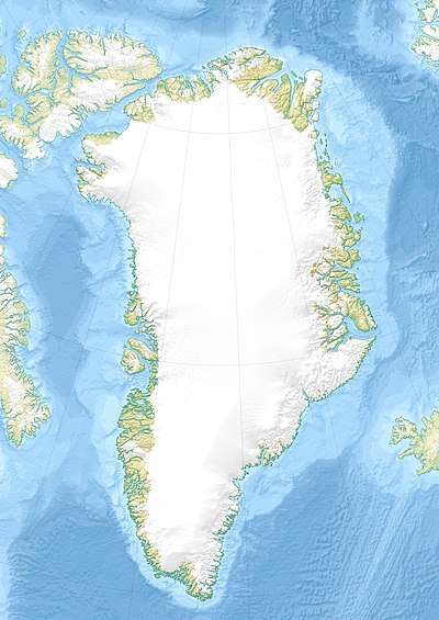
Gaule Bjerg is a mountain in King Christian IX Land, Sermersooq Municipality, Greenland.
| Gaule Bjerg | |
|---|---|
 Gaule Bjerg | |
| Highest point | |
| Elevation | 2,133 m (6,998 ft) [1] |
| Listing | List of mountains in Greenland |
| Coordinates | 66°55′35″N 38°11′19″W [1] |
| Geography | |
| Location | King Christian IX Land, Greenland |
| Parent range | Schweizerland |
| Climbing | |
| First ascent | Possibly unclimbed |
There is little information about this mountain.
Geography
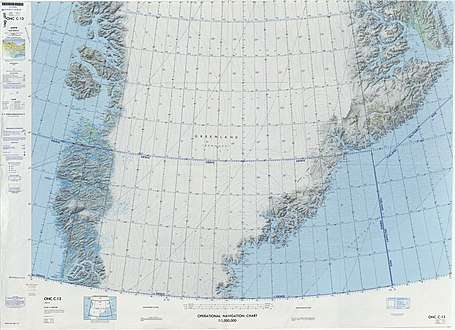
Gaule Bjerg is an isolated nunatak located north of the Fenris Glacier, west of the northern end of the Schweizerland Range.[1] Its elevation is 2,133 metres (6,998 ft).[1] This mountain is marked as a 7,218-foot-high (2,200 m) peak in the Defense Mapping Agency Greenland Navigation charts.[2]
 Defense Mapping Agency map of Greenland sheet. |
gollark: I'm willing to do this with *some* things, but not data storage, because then I would lose data.
gollark: I'm sure someone is working on this. High-performance stuff is actually quite power-constrained nowadays.
gollark: The obvious* solution is to liquid-cool the insides of the dies with accursed microfluidics things.
gollark: But the silicon itself isn't very conductive, as far as I know. Improving transfer between the dies will help, but not fix it entirely.
gollark: It's not very thermally conductive though, right? So the underlying die might get warm.
See also
- List of nunataks of Greenland
References
- "Gaule Bjerg". Mapcarta. Retrieved 8 July 2016.
- 1:1,000,000 scale Operational Navigation Chart, Sheet C-13
External links
This article is issued from Wikipedia. The text is licensed under Creative Commons - Attribution - Sharealike. Additional terms may apply for the media files.