Ganj Dundawara
Ganj Dundwara is a city and a municipal board in Kasganj District and the Aligarh zone in the state Uttar Pradesh, India.
Ganj Dundwara | |
|---|---|
Town | |
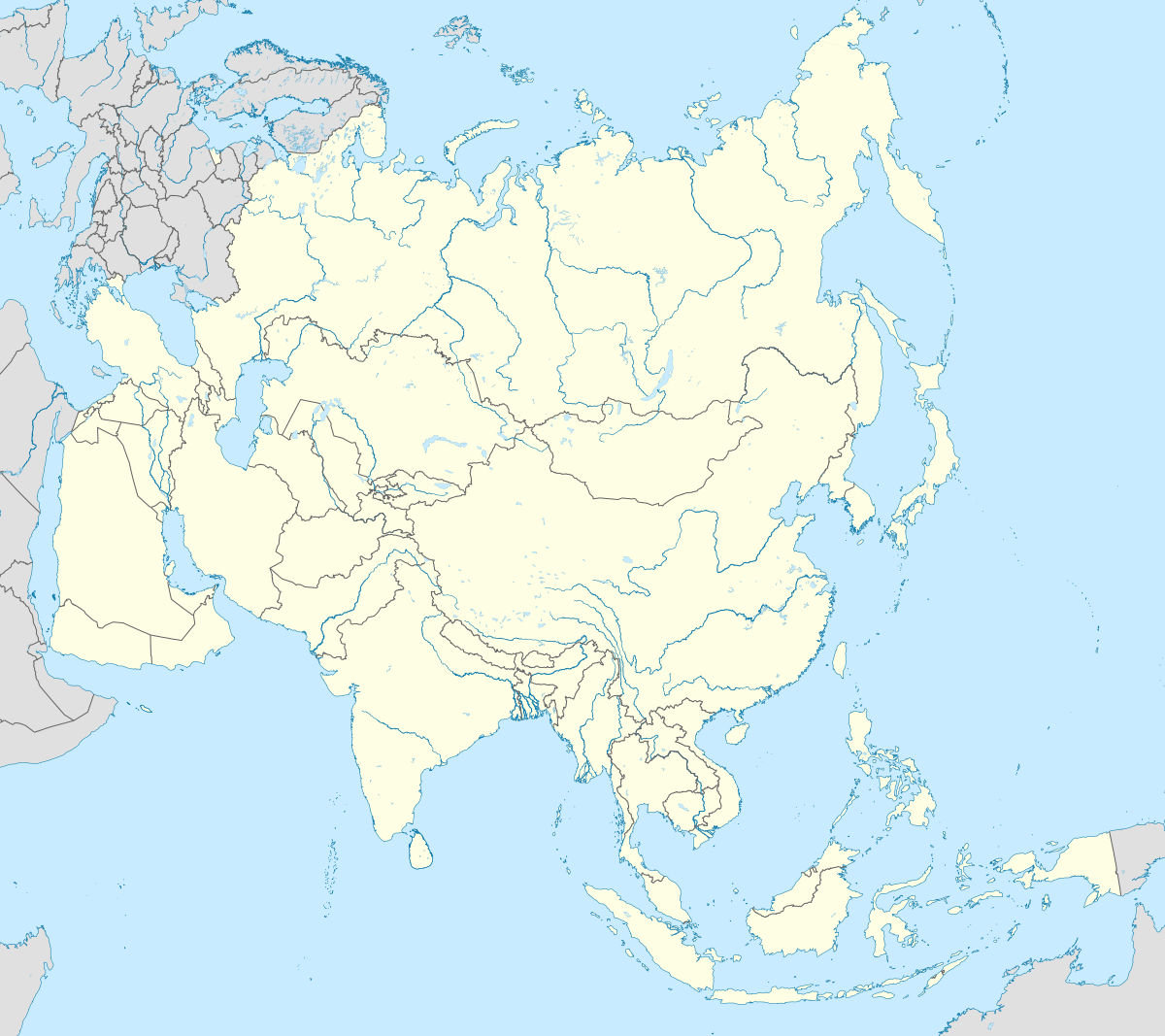
 Ganj Dundwara Location in Uttar Pradesh, India  Ganj Dundwara Ganj Dundwara (India)  Ganj Dundwara Ganj Dundwara (Asia) | |
| Coordinates: 27°43′58″N 78°56′30″E | |
| Country | |
| State | Uttar Pradesh |
| District | Kasganj |
| Elevation | 166 m (545 ft) |
| Population (2011)[1] | |
| • Total | 45,385 |
| Language | |
| • Official | Hindi[2] |
| • Additional official | Urdu[2] |
| Time zone | UTC+5:30 (IST) |
| PIN | 207242 |
| Telephone code | 05740 |
| Vehicle registration | UP-87 |
| Website | www |
Geography
Ganj Dundwara is located at 27.43°N latitude and 78.56°E longitude. It has an average elevation of 166 m (545 ft). The city is situated in Gangatic plain. The Ganges is the nearest (8 kilometres (5.0 mi)) holy river to the city.
Demographics
At the 2011 Indian Census, Ganj Dundwara had a total population of 45,385 (23,801 males and 21,584 females). The population within the age group of 0 to 6 years was 6,746. The total number of literates in Ganj Dundwara was 23,245, which constituted 51.2% of the population with male literacy of 55.7% and female literacy of 46.3%. The effective literacy rate of the 7+ population of was 60.2%, of which male literacy rate was 65.4% and female literacy rate was 54.4%. The Scheduled Castes population was 4,361. Ganj Dundwara had 6,981 households.[1]
At the 2001 census, Ganj Dundwara had a population of 41,245 (males 53%, females 47%). Ganj Dundwara had an average crude literacy rate of 44%, lower than the national average of 59.5%: male literacy was 51% and female literacy was 38%. 18% of the population were under 6 years of age.[3]
Climate
Ganj Dundwara has a humid subtropical climate. The winters are moderate. The summers are hot and dry, with temperatures regularly exceeding 35 °C. The monsoon season runs from the end of June to September. During the monsoon season, almost daily showers are a common phenomenon. From October onward, the weather is pleasant. Proper winter begins in early December.
Transport
Ganj Dundwara is situated on the Kanpur-Kasganj-Mathura electrified railway line. Trains are available to various major cities. The main express train which stops at Ganj Dundwara is the Ahmedabad-Gorakghpur Express (19409/19410). The town is connected to the district headquarters, Kasganj, by railway and road. UPSRTC provides various bus services from Ganj Dundwara to Etah (38 km (24 mi)), Delhi (250 km (160 mi)), Agra (120 km (75 mi)), Aligarh (90 km (56 mi)) and Bareilly (100 km (62 mi)).
Notable people
- Anup Upadhyay – stage, film and television actor
References
- "Census of India: Ganj Dundwara". www.censusindia.gov.in. Retrieved 9 October 2019.
- "52nd REPORT OF THE COMMISSIONER FOR LINGUISTIC MINORITIES IN INDIA" (PDF). nclm.nic.in. Ministry of Minority Affairs. Archived from the original (PDF) on 25 May 2017. Retrieved 4 July 2019.
- "Census of India 2001: Data from the 2001 Census, including cities, villages and towns (Provisional)". Census Commission of India. Archived from the original on 16 June 2004. Retrieved 1 November 2008.