Franklin Field (California)
Franklin Field (FAA LID: F72), formerly Q53, is a public airport located four miles (6 km) southeast of the central business district (CBD) of Franklin in Sacramento County, California, United States. It is mostly used for general aviation. The airport was used for bomber training during World War II, and in 1947 it was acquired by the County of Sacramento.
Franklin Field Franklin Air Force Auxiliary Field | |||||||||||||||
|---|---|---|---|---|---|---|---|---|---|---|---|---|---|---|---|
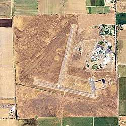 2006 USGS airphoto | |||||||||||||||
| Summary | |||||||||||||||
| Airport type | Public | ||||||||||||||
| Operator | Sacramento County | ||||||||||||||
| Location | Franklin, Sacramento County, California | ||||||||||||||
| Elevation AMSL | 21 ft / 6.4 m | ||||||||||||||
| Coordinates | 38°18′18″N 121°25′47″W | ||||||||||||||
| Map | |||||||||||||||
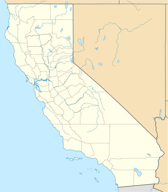 F72 Location of Franklin Field | |||||||||||||||
| Runways | |||||||||||||||
| |||||||||||||||
Facilities
Franklin Field covers 496 acres (201 ha) and has two runways:
- Runway 18/36: 3,240 x 60 ft (988 x 18 m), surface: asphalt
- Runway 9/27: 3,100 x 60 ft (945 x 18 m), surface: asphalt
World War II
During World War II, the airport was designated as Franklin Air Force Auxiliary Field, and was an auxiliary training airfield for both Mather Army Airfield and Stockton Army Airfield, California.
gollark: Done.
gollark: Oh. I thought we had that on.
gollark: Yes.
gollark: It can probably be modified to hold a mapping from (recent) message IDs of things it bridges to original message IDs.
gollark: Odd.
References
![]()
- FAA Airport Master Record for F72 (Form 5010 PDF)
- Franklin Field (official Sacramento County Airport System site)
External links
- Resources for this airport:
- FAA airport information for F72
- AirNav airport information for F72
- FlightAware airport information and live flight tracker
- SkyVector aeronautical chart for F72
| Flying Training |
|  | ||||
|---|---|---|---|---|---|---|
| Technical Training |
| |||||
This article is issued from Wikipedia. The text is licensed under Creative Commons - Attribution - Sharealike. Additional terms may apply for the media files.