Fort Totten State Historic Site
Fort Totten State Historic Site is a historic site in Fort Totten, North Dakota.

Fort Totten | |
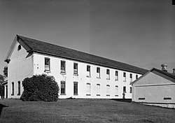
 Barracks at Fort Totten | |
  | |
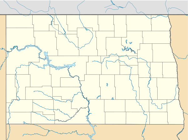
| Location | South of Fort Totten off ND 57 |
|---|---|
| Nearest city | Fort Totten, North Dakota |
| Coordinates | 47°58′39″N 98°59′35″W |
| Area | less than one acre |
| Built | 1868 |
| NRHP reference No. | 71000629[1] |
| Added to NRHP | December 09, 1971 |
History
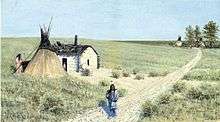
Established on July 17, 1867,[2] the fort was first built to watch over the surrounding Spirit Lake Tribe (known then as the Devils Lake Reservation) after a group of the Dakota tribe moved to the area after 1867. The soldiers were stationed to enforce the peace and guard transportation routes. The Fort was also the gathering point for an expedition to survey the border between the United States and British Canada in the 1870s. The fort was decommissioned in 1890. It was then turned over to the Bureau of Indian Affairs where until 1959 it was used as a Native American boarding school. Fort Totten became a North Dakota State Historic Site in 1960 and was listed on the National Register of Historic Places in 1971.
It was named for United States Army Corps of Engineers head Joseph Gilbert Totten, who also has forts named for him in Washington, D.C. (now Fort Totten Park) and Queens, New York (now a park and reserve military installation).
Today
Visitors can access an interpretive center, take a walking tour of 16 original buildings, visit the Pioneer Daughter's Museum, take in a show at the Fort Totten Little Theatre, and stay at the Totten Trail Historic Inn bed and breakfast. School children often attend the "Fort Totten Living History Field Day" in September.
Further reading
- Barnes, Jeff. Forts of the Northern Plains: Guide to Historic Military Posts of the Plains Indian Wars. Mechanicsburg, PA: Stackpole Books, 2008.
References
- "National Register Information System". National Register of Historic Places. National Park Service. March 13, 2009.
- Robert W. Frazer: Forts of the West, Military Forts and Presidios and Posts Commonly Called Forts West of the Mississippi River to 1898, University of Oklahoma Press, Norman, Okla., 1965, p. 115.
External links
| Wikimedia Commons has media related to Fort Totten. |
- HABS—Historic American Buildings Survey of Fort Totten
- Historic American Buildings Survey (HABS) No. ND-17, "Fort Totten, 12 miles southwest of Devils Lake City off Route 57, Devils Lake vicinity, Benson County, ND"
- HABS No. ND-5, "Fort Totten, Adjutant's Office"
- HABS No. ND-6, "Fort Totten, Commanding Officers' Quarters"
- HABS No. ND-7, "Fort Totten, Captain & First Lieutenant's Quarters, Building No. 4"
- HABS No. ND-8, "Fort Totten, Surgeon & Chaplains' Quarters"
- HABS No. ND-9, "Fort Totten, Second Lieutenant's Quarters, Building No. 5"
- HABS No. ND-10, "Fort Totten, Hospital"
- HABS No. ND-11, "Fort Totten, Magazine"
- HABS No. ND-12, "Fort Totten, Quartermaster's Storehouse"
- HABS No. ND-13, "Fort Totten, Company Barracks, Building No. 11"
- HABS No. ND-14, "Fort Totten, Bakery Shop"
- HABS No. ND-16, "Fort Totten, Commissary"
- HABS No. ND-22, "Fort Totten, Second Lieutenant's Quarters, Building No. 1"
- HABS No. ND-23, "Fort Totten, Captain & First Lieutenant's Quarters, Building No. 2"
- HABS No. ND-24, "Fort Totten, Company Barracks, Building No. 12"