Fianarantsoa Airport
Fianarantsoa Airport (IATA: WFI, ICAO: FMSF) is an airport in Fianarantsoa, Madagascar.
Fianarantsoa Airport | |||||||||||
|---|---|---|---|---|---|---|---|---|---|---|---|
| Summary | |||||||||||
| Airport type | Public/Military | ||||||||||
| Operator | ADEMA (Aéroports de Madagascar) | ||||||||||
| Serves | Fianarantsoa | ||||||||||
| Location | Haute Matsiatra, Madagascar | ||||||||||
| Elevation AMSL | 3,658 ft / 1,115 m | ||||||||||
| Coordinates | 21°26′29″S 47°06′42″E | ||||||||||
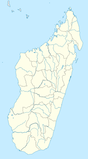
| Map | |||||||||||
 WFI Location within Madagascar | |||||||||||
| Runways | |||||||||||
| |||||||||||
DAFIF[1] | |||||||||||
Scheduled services
| Airlines | Destinations |
|---|---|
| Air Madagascar | Antananarivo |
gollark: If the market wills it, it's good.
gollark: Obviously I'll have to prototype it first, but it would be neat.
gollark: With special hardware at junctions, a coordination server, and a bit of powered rail, it should be possible to use just 1 or 2 tracks per road and send carts anywhere, with fully passive (computerless) carts.
gollark: I thought about doing it in Chorus City, but it wouldn't make much sense since that's quite small.
gollark: Is there a way to get stuff installed under Switch City streets? I had a really cool idea for a routed rail transport system.
External links
- Airport information for FMSF at World Aero Data. Data current as of October 2006.
This article is issued from Wikipedia. The text is licensed under Creative Commons - Attribution - Sharealike. Additional terms may apply for the media files.