Emajagua
Emajagua is a barrio in the municipality of Maunabo, Puerto Rico with a population of 4,538 in 2010.[3]
Emajagua | |
|---|---|
Barrio | |
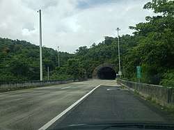 Túnel Vicente Morales Lebrón in Emajagua | |
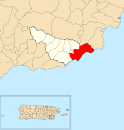 Location of Emajagua within the municipality of Maunabo shown in red | |
 Emajagua Location of Puerto Rico | |
| Coordinates: 18°00′18″N 65°52′37″W[1] | |
| Commonwealth | |
| Municipality | |
| Area | |
| • Total | 5.76 sq mi (14.9 km2) |
| • Land | 4.14 sq mi (10.7 km2) |
| • Water | 1.62 sq mi (4.2 km2) |
| Elevation | 59 ft (18 m) |
| Population (2010) | |
| • Total | 4,538 |
| • Density | 1,096.1/sq mi (423.2/km2) |
| Source: 2010 Census | |
| Time zone | UTC−4 (AST) |
History
The United States took control of Puerto Rico from Spain in the aftermath of the Spanish-American War under the terms of the Treaty of Paris of 1898. In 1899, the United States conducted its first census of Puerto Rico finding that the population of Emajagua barrio was 828.[4]
Gallery
 Villa Pesquera in Emajagua
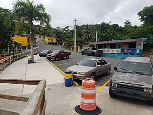 The Villa Pesquera parking area
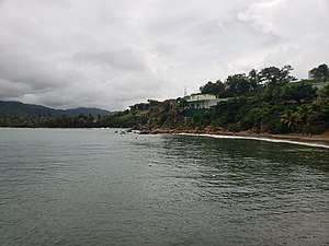 View of Villa Pesquera from the pier
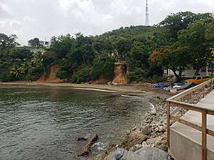
gollark: - If a foreign country's relations with our own are poor, it should be removed from all maps and not acknowledged by government policy.
gollark: - I think markets are a reasonably good resource allocation system, and to ensure liquidity would support requiring any property someone owns whatsoever to be put up for auction if someone requests it.
gollark: - I believe our country should construct its own god to reduce reliance on foreign imports, and maintain a stock of reality anchors to remove other gods if necessary.
gollark: - I think that consumption, possession, distribution and production of all drugs should be legal everywhere for everyone at all times.- I support an improved tax system, where everyone in the country is directly billed `country's yearly operating expenses / population` each year, to increase fairness.
gollark: - I believe we should end racial discrimination by replacing computer monitors with 1-bit black and white displays so race cannot be distinguished.
See also
References
- "US Gazetteer 2019". US Census. US Government.
- U.S. Geological Survey Geographic Names Information System: Emajagua barrio
- Puerto Rico:2010:population and housing unit counts.pdf (PDF). U.S. Dept. of Commerce, Economics and Statistics Administration, U.S. Census Bureau. 2010.
- Joseph Prentiss Sanger; Henry Gannett; Walter Francis Willcox (1900). Informe sobre el censo de Puerto Rico, 1899, United States. War Dept. Porto Rico Census Office (in Spanish). Imprenta del gobierno. p. 163.
This article is issued from Wikipedia. The text is licensed under Creative Commons - Attribution - Sharealike. Additional terms may apply for the media files.