Electronic navigational chart
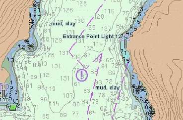
An electronic navigational chart or ENC is an official database created by a national hydrographic office for use with an Electronic Chart Display and Information System (ECDIS). An electronic chart must conform to standards stated in the International Hydrographic Organization (IHO) Publication S-57 before it can be certified as an ENC. Only ENCs can be used within ECDIS to meet the International Maritime Organization (IMO) performance standard for ECDIS.
ENCs are available for wholesale distribution to chart agents and resellers from Regional Electronic Navigational Chart Centres (RENCs). The RENCs are not-for-profit organizations made up of ENC-producer countries. RENCs independently check each ENC submitted by the contributing countries to ensure that they conform to the relevant IHO standards. The RENCs also act collectively as one-stop wholesalers of most of the world's ENCs.
IHO Publication S-63 developed by the IHO Data Protection Scheme Working Group is used to encrypt and digitally sign ENC data. Chart data is captured based on standards stated in IHO Publication S-57, and is displayed according to a display standard set out in IHO Publication S-52 to ensure consistency of data rendering between different systems.
IMO adopted compulsory carriage of ECDIS and ENCs on new high speed craft from 1 July 2010 and progressively for other craft from 2012 to 2018.[1]
References
- "Towards ECDIS Mandatory Carriage". Hydro International. Retrieved 2007-09-02.
WEINTRIT Adam: The Electronic Chart Display and Information System (ECDIS). An Operational Handbook. A Balkema Book. CRC Press, Taylor & Francis Group, Boca Raton – London - New York - Leiden, 2009. (ISBN 9780415482462), http://www.crcpress.com/product/isbn/9780415482462
External links
- IMO Electronic Chart Overview
- Transas Electronic Navigational Charts, World Folio
- International Centre for ENCs, one of two RENCs in the world
- PRIMAR, one of two RENCs in the world
- United Kingdom Hydrographic Office
- Electronic Chart Centre (ECC)
- Product Survey ECDIS - ECS+ software
- Office of Coast Survey, has free download of ENCs for US.
- Inland Electronic Navigation Charts (US)
- Open Electronic Navigation Charts Directory