El Sinai
El Sinai is a locality in San José del Palmar Municipality, Chocó Department in Colombia.
El Sinai | |
|---|---|
| Coordinates: 4°50′3.6″N 76°12′25.0″W | |
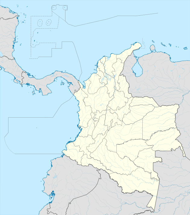
| Country | |
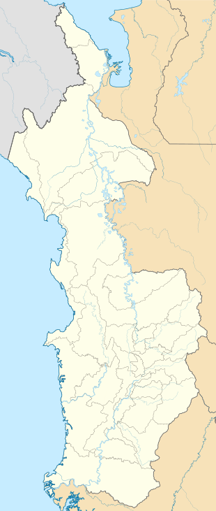
| Department | Chocó |
| Municipality | San José del Palmar Municipality |
| Elevation | 6,140 ft (1,870 m) |
| Time zone | UTC-5 (Colombia Standard Time) |
Climate
El Sinai has a subtropical highland climate (Cfb) with very heavy rainfall year-round.
| Climate data for El Sinai | |||||||||||||
|---|---|---|---|---|---|---|---|---|---|---|---|---|---|
| Month | Jan | Feb | Mar | Apr | May | Jun | Jul | Aug | Sep | Oct | Nov | Dec | Year |
| Average high °C (°F) | 19.8 (67.6) |
20.1 (68.2) |
20.4 (68.7) |
20.8 (69.4) |
20.9 (69.6) |
20.7 (69.3) |
20.7 (69.3) |
20.8 (69.4) |
20.5 (68.9) |
20.3 (68.5) |
19.9 (67.8) |
19.7 (67.5) |
20.4 (68.7) |
| Daily mean °C (°F) | 16.8 (62.2) |
17.0 (62.6) |
17.2 (63.0) |
17.4 (63.3) |
17.5 (63.5) |
17.4 (63.3) |
17.3 (63.1) |
17.3 (63.1) |
17.0 (62.6) |
16.8 (62.2) |
16.8 (62.2) |
16.8 (62.2) |
17.1 (62.8) |
| Average low °C (°F) | 14.2 (57.6) |
14.3 (57.7) |
14.4 (57.9) |
14.6 (58.3) |
14.6 (58.3) |
14.5 (58.1) |
14.3 (57.7) |
14.2 (57.6) |
14.1 (57.4) |
13.9 (57.0) |
14.0 (57.2) |
14.1 (57.4) |
14.3 (57.7) |
| Average rainfall mm (inches) | 441.7 (17.39) |
373.6 (14.71) |
375.9 (14.80) |
459.0 (18.07) |
479.0 (18.86) |
358.9 (14.13) |
356.7 (14.04) |
369.8 (14.56) |
402.7 (15.85) |
559.2 (22.02) |
688.6 (27.11) |
556.1 (21.89) |
5,421.2 (213.43) |
| Average rainy days | 25 | 22 | 24 | 26 | 26 | 24 | 23 | 23 | 25 | 28 | 27 | 26 | 299 |
| Source: [1] | |||||||||||||
gollark: Unless two points have the same x, although that might just be Lagrange interpolation.
gollark: You can go through n points with a polynomial of degree n. Or n - 1. Or n + 1. One of those.
gollark: I even have some lagrange interpolation code you could use somewhere.
gollark: Just put some points you can drag around and interpolate them via bee.
gollark: Surely that's just something something polynomial interpolation?
This article is issued from Wikipedia. The text is licensed under Creative Commons - Attribution - Sharealike. Additional terms may apply for the media files.