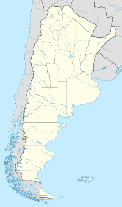
El Aguilar
El Aguilar is a company mining town and municipality in Jujuy Province in Argentina.[1] At 3,980 metres (13,060 ft), it is one of the highest settlements in the country after Mina Pirquitas which is at 4,160 metres (13,650 ft). It has 3655 inhabitants (2001 census).
El Aguilar | |
|---|---|
Municipality and town | |
 El Aguilar | |
| Coordinates: 23°13′03″S 65°40′47″W | |
| Country | |
| Province | Jujuy Province |
| Elevation | 3,980 m (13,060 ft) |
| Population (2001) | |
| • Total | 3,655 |
| Area code(s) | 03887 |
Climate
| Climate data for El Aguilar (1969–1988) | |||||||||||||
|---|---|---|---|---|---|---|---|---|---|---|---|---|---|
| Month | Jan | Feb | Mar | Apr | May | Jun | Jul | Aug | Sep | Oct | Nov | Dec | Year |
| Daily mean °C (°F) | 6.1 (43.0) |
6.3 (43.3) |
5.9 (42.6) |
3.9 (39.0) |
0.7 (33.3) |
−0.8 (30.6) |
−1.5 (29.3) |
0.5 (32.9) |
2.0 (35.6) |
3.9 (39.0) |
5.3 (41.5) |
5.8 (42.4) |
3.2 (37.8) |
| Average precipitation mm (inches) | 106 (4.2) |
96 (3.8) |
53 (2.1) |
5 (0.2) |
1 (0.0) |
1 (0.0) |
0 (0) |
1 (0.0) |
2 (0.1) |
9 (0.4) |
24 (0.9) |
66 (2.6) |
364 (14.3) |
| Source: Instituto Nacional de Tecnología Agropecuaria[2] | |||||||||||||
gollark: Buy PREMIUM ULTRA TRADE and get your trade listed before the fools who just got MEGA TRADE.
gollark: Plus the filter DLC for £99.99!
gollark: See more trades than ever before!
gollark: Buy ***PREMIUM*** pagination ***NOW***!
gollark: I suspect a bunch of my names would be stolen quite fast.
References
- Ministerio del Interior (in Spanish)
- "Estadísticos de Precipitaciones y Balance Hídrico". Las Precipitaciones del Noroeste Argentino (in Spanish). Instituto Nacional de Tecnología Agropecuaria. Retrieved 3 April 2016.
This article is issued from Wikipedia. The text is licensed under Creative Commons - Attribution - Sharealike. Additional terms may apply for the media files.