Eifel-Ardennes Green Route
The Eifel-Ardennes Green Route or Eifel-Ardennes Green Road (German: Grüne Straße Eifel-Ardennen, French: Route Verte Ardennes-Eifel) is a cross-border, tourist route, about 500 kilometres long, which links the Ardennes to the Eifel. It runs from France via Belgium and Luxembourg to Germany mainly on quiet by-ways.
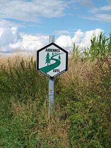
Green Route sign
Course
- France (ca. 90 km)
- Belgium (ca. 115 km)
- Bouillon - Cugnon - Mortehan - Auby-sur-Semois - Herbeumont - Florenville - Villers-devant-Orval - Habay-la-Neuve - Martelange
- Luxembourg (ca. 95 km)
- Germany (ca. 200 km)
- Roth an der Our - Sinspelt - Bitburg - Malberg - Kyllburg - Oberkail - Himmerod Abbey - Manderscheid - Weinfelder Maar - Schalkenmehrener Maar - Daun - Kelberg - Müllenbach - Kempenich - Bad Neuenahr-Ahrweiler - Bad Bodendorf - Sinzig
Sources
- Eifelführer, Eifelverein e.V., 37. Auflage, 1995
gollark: ~play haskell
gollark: ~play calculus
gollark: ~p kan181 potatoS
gollark: https://top.gg/bot/683735247489466397
gollark: You could use Vinyl, another popular™ music bot by a sort of friend of mine.
This article is issued from Wikipedia. The text is licensed under Creative Commons - Attribution - Sharealike. Additional terms may apply for the media files.