East Twin River (Washington)
The East Twin River is a stream on the Olympic Peninsula in the U.S. state of Washington. It originates in the northern Olympic Mountains and flows north, emptying into the Strait of Juan de Fuca just east of West Twin River.[2]
| East Twin River | |
|---|---|
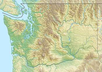 Location of the mouth of the East Twin River in Washington | |
| Location | |
| Country | United States |
| State | Washington |
| County | Clallam |
| Physical characteristics | |
| Source | Olympic Mountains |
| • coordinates | 48°5′23″N 123°58′35″W[1] |
| Mouth | Strait of Juan de Fuca |
• coordinates | 48°9′58″N 123°56′51″W[1] |
Course
The East Twin River originates in the Olympic National Forest on the north slope of Mount Muller, on the northern portion of Olympic Peninsula. It flows north and slightly east, entering the Strait of Juan de Fuca near the town of Twin, less than 0.5 miles (0.80 km) east of the mouth of the West Twin River.[2]
gollark: Except a lot of them will be used to constant surveillance by parents, and also by that point governments and corporations.
gollark: According to a very trustworthy random internet article I happened to read yesterday, last century it was fairly common for young children to just be allowed to wander around outside on their own or with friends for ages.
gollark: To some extent, this is a modern trend.
gollark: Esolangs members are not reflective of the general population and if I had children I would not act this beeishly toward them.
gollark: Just in different ways.
See also
- List of rivers of Washington
References
- U.S. Geological Survey Geographic Names Information System: East Twin River
- General course info from USGS topographic maps accessed via the "GNIS in Google Map" feature of the USGS Geographic Names Information System website.
This article is issued from Wikipedia. The text is licensed under Creative Commons - Attribution - Sharealike. Additional terms may apply for the media files.