East Ogwell
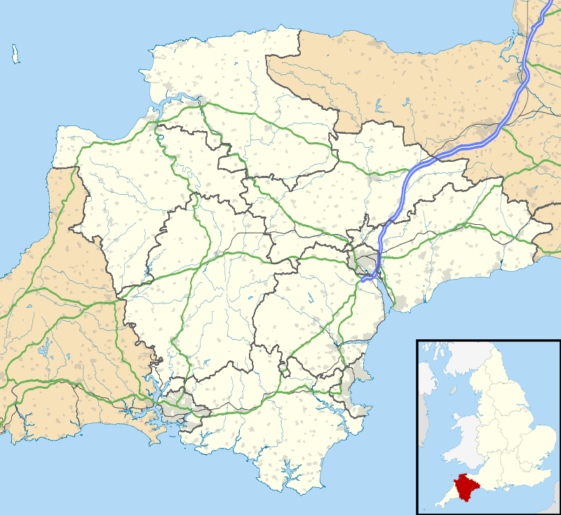
East Ogwell is a village and former civil parish 15 miles (24 km) south of Exeter,[1] now in the parish of Ogwell, in the Teignbridge district, in the county of Devon, England. In 2018 it had an estimated population of 855.[2] In 1891 the parish had a population of 271.[3]
| East Ogwell | |
|---|---|
 | |
 East Ogwell Location within Devon | |
| Area | 0.367 km2 (0.142 sq mi) |
| Population | 855 (2018 estimate) |
| • Density | 2,330/km2 (6,000/sq mi) |
| Civil parish | |
| District | |
| Shire county | |
| Region | |
| Country | England |
| Sovereign state | United Kingdom |
Amenities
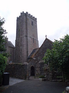
East Ogwell has a church called St Bartholomew located in the centre of the village.[4]
History
The name "Ogwell" means 'Wocga's spring/stream'. The "East" part distinguishing it from West Ogwell.[5] East Ogwell was recorded in the Domesday Book as Ogewille.[6] On 1 April 1894 the parish was abolished and merged with West Ogwell to form Ogwell.[7]
gollark: Or r-room.
gollark: Rename it to rec-room again.
gollark: <@583380661130493990> <@175456582098878464> You too.
gollark: <@319753218592866315> Fix the name.
gollark: Hαsκελλ.
References
- "Distance from East Ogwell [50.518217, -3.640424]". GENUKI. Retrieved 22 July 2020.
- "East Ogwell". City Population De. Retrieved 22 July 2020.
- "Population statistics East Ogwell AP/CP through time". Vision of Britain. Retrieved 22 July 2020.
- "St Bartholomew". A Church Near You. Retrieved 22 July 2020.
- "East Ogwell Key to English Place-names". The University of Nottingham. Retrieved 22 July 2020.
- "Place name: East Ogwell". The National Archives. Retrieved 22 July 2020.
- "Relationships and changes East Ogwell AP/CP through time". A Vision of Britain through Time. Retrieved 22 July 2020.
| Wikimedia Commons has media related to East Ogwell. |
This article is issued from Wikipedia. The text is licensed under Creative Commons - Attribution - Sharealike. Additional terms may apply for the media files.