East Dunrankin River
The East Dunrankin River is a river in Algoma District and Sudbury District in northeastern Ontario, Canada.[1] It is in the James Bay drainage basin, and is a right tributary of the Dunrankin River.
| East Dunrankin River | |
|---|---|
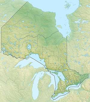 Location of the mouth of the East Dunrankin River in Ontario | |
| Location | |
| Country | Canada |
| Province | Ontario |
| Region | Northeastern Ontario |
| Districts | |
| Physical characteristics | |
| Source | Unnamed marsh |
| • location | Bonar Township, Sudbury District |
| • coordinates | 48°23′26″N 83°04′42″W |
| • elevation | 349 m (1,145 ft) |
| Mouth | Dunrankin River |
• location | Stefansson Township, Algoma District |
• coordinates | 48°34′57″N 83°04′14″W |
• elevation | 305 m (1,001 ft) |
| Basin features | |
| River system | James Bay drainage basin |
Course
The river begins at an unnamed marsh in geographic Bonar Township,[2] Sudbury District, and flows north before heading into Algoma District at geographic Kirkwall Township,[3] then continues north to flow under the Canadian National Railway transcontinental railway main line, completed in 1915 as the Canadian Northern Railway, between the railway points of Dunrankin to the west and Agate to the east, at this point passed but not served by Via Rail transcontinental Canadian trains. The river continues north, enters geographic Stefansson Township,[4] and immediately reaches its mouth at the Dunrankin River. The Dunrankin River flows via the Kapuskasing River, the Mattagami River and the Moose River to James Bay.
References
- "East Dunrankin River". Geographical Names Data Base. Natural Resources Canada. Retrieved 2016-08-11.
- "Bonar" (PDF). Geology Ontario – Historic Claim Maps. Ontario Ministry of Northern Development, Mines and Forestry. Archived from the original (PDF) on 2016-08-29. Retrieved 2016-08-11.
- "Kirkwall" (PDF). Geology Ontario – Historic Claim Maps. Ontario Ministry of Northern Development, Mines and Forestry. Archived from the original (PDF) on 2016-08-26. Retrieved 2016-08-11.
- "Stefansson" (PDF). Geology Ontario – Historic Claim Maps. Ontario Ministry of Northern Development, Mines and Forestry. Archived from the original (PDF) on 2016-08-26. Retrieved 2016-08-11.
Sources
- Map 14 (PDF) (Map). 1 : 1,600,000. Official road map of Ontario. Ministry of Transportation of Ontario. 2010-01-01. Retrieved 2016-08-11.
- Restructured municipalities – Ontario map #3 (Map). Restructuring Maps of Ontario. Ontario Ministry of Municipal Affairs and Housing. 2006. Retrieved 2016-08-11.