Eagle Bay, British Columbia
Eagle Bay is a designated place located on the Shuswap Highland Peninsula on the southern shore of Shuswap Lake in British Columbia, Canada.
Eagle Bay | |
|---|---|
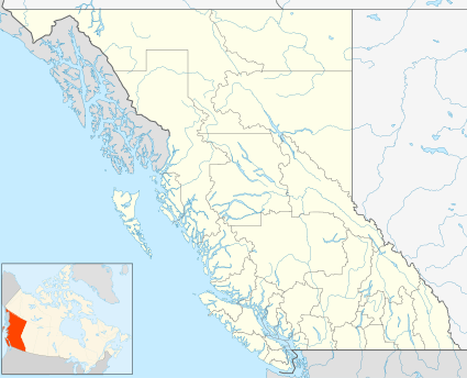 Eagle Bay Location of Eagle Bay in British Columbia | |
| Coordinates: 50°55′58″N 119°12′49″W | |
| Country | |
| Province | |
| Population (2011) | |
| • Total | 400 |
| Area code(s) | 250, 778 |
| Year | Pop. | ±% |
|---|---|---|
| 1996 | 432 | — |
| 2001 | 423 | −2.1% |
| 2006 | 528 | +24.8% |
| 2011 | 400 | −24.2% |
| Sources: Statistics Canada[1][2] | ||
Location and Nearby Settlements
The community is situated across the lake from Crowfoot Mountain on the southern shore of Shuswap Lake. It is 24 kilometres east of Sorrento, British Columbia, which is about 20 minutes by automobile. Access to Eagle Bay from Sorrento is via Blind Bay Road and Eagle Bay Road or via the Trans-Canada Highway, Balmoral Road and Eagle Bay Rd.
The South Shuswap region, where Eagle Bay is found, includes the communities of Balmoral, Blind Bay, Carlin, Notch Hill, Skimikin, Sorrento, Sunnybrae, Tappen, White Lake, and Wild Rose Bay.
gollark: I'm pretty sure my regex matches only Ale32bit or AlexDevs *out of the players here*.
gollark: LIES!
gollark: Are you lasing someone without me?
gollark: I could probably write that regex more efficiently.
gollark: The cool word for "tesseract" is octachoron, Ale[3x][D2][eb][vi]t?.
References
- "Eagle Bay, UNP – British Columbia (Designated place)". Statistics Canada. Retrieved June 21, 2013.
- "2001 Census: Designated Places". BC Stats. Retrieved June 21, 2013.
This article is issued from Wikipedia. The text is licensed under Creative Commons - Attribution - Sharealike. Additional terms may apply for the media files.