Duplin County Airport
Duplin County Airport (ICAO: KDPL, FAA LID: DPL)[2] is a county-owned, public-use airport in Duplin County, North Carolina, United States.[1] It is located two nautical miles (4 km) northwest of the central business district of Kenansville, North Carolina.[1] This airport is included in the National Plan of Integrated Airport Systems for 2011–2015, which categorized it as a general aviation facility.[3]
Duplin County Airport | |||||||||||
|---|---|---|---|---|---|---|---|---|---|---|---|
| Summary | |||||||||||
| Airport type | Public | ||||||||||
| Owner | Duplin County | ||||||||||
| Serves | Kenansville, North Carolina | ||||||||||
| Elevation AMSL | 137 ft / 42 m | ||||||||||
| Coordinates | 35°00′00″N 077°58′54″W | ||||||||||
| Map | |||||||||||
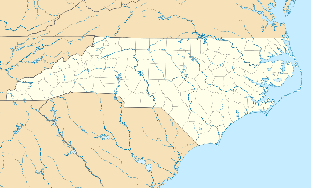 DPL Location of airport in North Carolina | |||||||||||
| Runways | |||||||||||
| |||||||||||
| Statistics (2011) | |||||||||||
| |||||||||||
Although most U.S. airports use the same three-letter location identifier for the FAA and IATA, this airport is assigned DPL by the FAA[1] but has no designation from the IATA[4] (which assigned DPL to Dipolog Airport in Dipolog City, Philippines).[5][6]
History
Duplin County Airport opened December 16, 1964 when a University of North Carolina Medical School airplane landed on the runway.[7]
Facilities and aircraft
Duplin County Airport covers an area of 435 acres (176 ha) at an elevation of 137 feet (42 m) above mean sea level. It has one runway designated 5/23 with an asphalt surface measuring 6,002 by 75 feet (1,829 x 23 m).[1]
For the 12-month period ending August 25, 2011, the airport had 17,500 aircraft operations, an average of 47 per day: 2% general aviation and 98% military. MCAS New River uses the airport as an OLF. At that time there were 21 aircraft based at this airport: 67% single-engine, 19% jet, 9% multi-engine, and 5% helicopter.[1]
References
- FAA Airport Master Record for DPL (Form 5010 PDF). Federal Aviation Administration. Effective November 15, 2012.
-
"Duplin County – DPL (KDPL)". National Flight Data Center. Federal Aviation Administration. Retrieved December 19, 2012. External link in
|work=(help) -
"2011–2015 NPIAS Report, Appendix A" (PDF). National Plan of Integrated Airport Systems. Federal Aviation Administration. October 4, 2010. Archived from the original (PDF, 2.03 MB) on 2012-09-27. External link in
|work=(help) - "Duplin County Airport (ICAO: KDPL, FAA: DPL, IATA: none)". Great Circle Mapper. Retrieved December 19, 2012.
- "Dipolog Airport, Philippines (IATA: DPL, ICAO: RPMG)". Aviation Safety Network. Retrieved December 19, 2012.
- "IATA Airport Code Search (DPL: Dipolog)". International Air Transport Association. Retrieved December 19, 2012.
- "Duplin County Airport homepage". Retrieved December 13, 2006.
External links
- Duplin County Airport at Duplin County website
- "Duplin County Airport - DPL" (PDF). at North Carolina DOT airport guide
- Aerial image as of March 1993 from USGS The National Map
- FAA Terminal Procedures for DPL, effective July 16, 2020
- Resources for this airport:
- FAA airport information for DPL
- AirNav airport information for KDPL
- FlightAware airport information and live flight tracker
- NOAA/NWS weather observations: current, past three days
- SkyVector aeronautical chart, Terminal Procedures