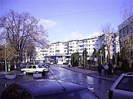
Drăgășani
Drăgășani (Romanian pronunciation: [drəɡəˈʃanʲ] (![]()
Drăgășani | |
|---|---|
 | |
 Coat of arms | |
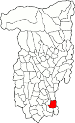 Location in Vâlcea County | |
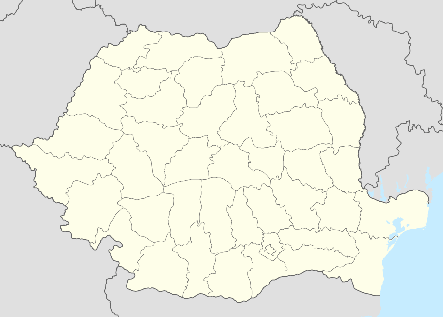 Drăgășani Location in Romania | |
| Coordinates: 44°39′40″N 24°15′38″E | |
| Country | |
| County | Vâlcea |
| Government | |
| • Mayor | Cristian Nedelcu[1] (PSD) |
| Area | 44.57 km2 (17.21 sq mi) |
| Population (2011)[2] | 17,871 |
| • Density | 400/km2 (1,000/sq mi) |
| Time zone | EET/EEST (UTC+2/+3) |
| Vehicle reg. | VL |
| Website | www |
The city administers four villages: Capu Dealului, Valea Caselor, Zărneni and Zlătărei. It is situated in the historical region of Oltenia.
History
| Year | Pop. | ±% |
|---|---|---|
| 1900 | 4,398 | — |
| 1912 | 6,710 | +52.6% |
| 1930 | 7,002 | +4.4% |
| 1948 | 9,737 | +39.1% |
| 1956 | 9,963 | +2.3% |
| 1966 | 11,589 | +16.3% |
| 1977 | 15,647 | +35.0% |
| 1992 | 22,126 | +41.4% |
| 2002 | 22,499 | +1.7% |
| 2011 | 16,681 | −25.9% |
| Source: Census data | ||
Drăgășani stands on the site of the Daco-Roman Rusidava. On 19 June 1821, during the Greek War of Independence, the Ottomans routed the Filiki Eteria troops of Alexander Ypsilantis near the city in the Battle of Dragashani.[3] There Tudor Vladimirescu fought with his Panduri, revolutionary fighters consisting mainly of peasants and not armed with firepower, against the Turks.
Notes
| Wikimedia Commons has media related to Drăgășani. |
- "Results of the 2016 local elections". Central Electoral Bureau. Retrieved 3 April 2020.
- "Populaţia stabilă pe judeţe, municipii, oraşe şi localităti componenete la RPL_2011" (in Romanian). National Institute of Statistics. Retrieved 4 February 2014.
- Chisholm, Hugh, ed. (1911). . Encyclopædia Britannica. 8 (11th ed.). Cambridge University Press. p. 465.