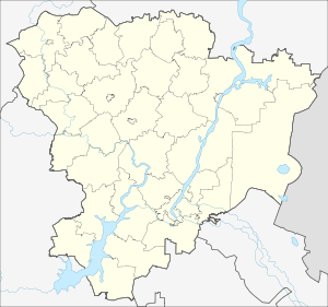
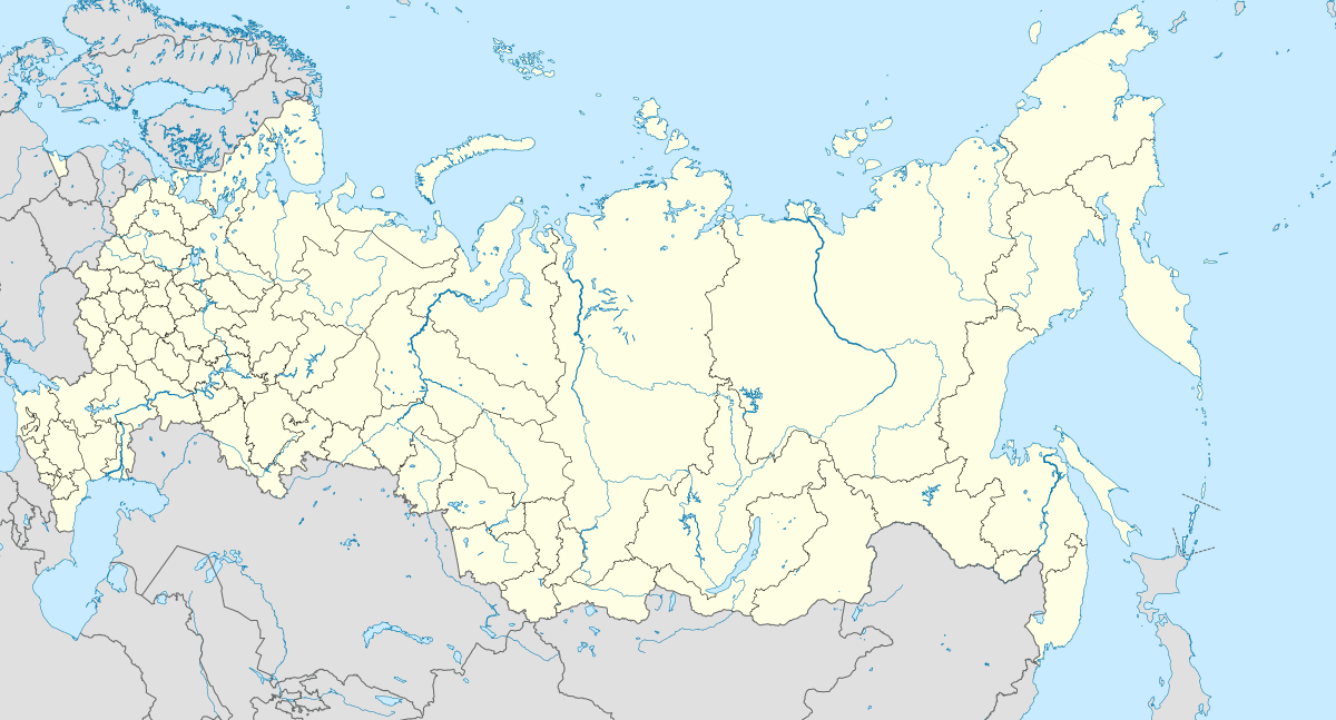
Dolgy, Leninsky District, Volgograd Oblast
Dolgy (Russian: Долгий) is a rural locality (a khutor) in Pokrovskoye Rural Settlement, Leninsky District, Volgograd Oblast, Russia. The population was 24 as of 2010.[2] There are 2 streets.
Dolgy Долгий | |
|---|---|
Khutor | |
 Dolgy  Dolgy | |
| Coordinates: 48°31′N 45°06′E[1] | |
| Country | Russia |
| Region | Volgograd Oblast |
| District | Leninsky District |
| Time zone | UTC+4:00 |
Geography
The village is located on Caspian Depression, on the left bank of the Kalinov, 76 km from Volgograd, 27 km from Leninsk, 16 km from Pokrovka.
gollark: You probably just ended up discarding 3829194839200220 data.
gollark: GTech™ would be more "based" and ship it as an efficiently compressed file using H.265.
gollark: Twitter is probably just reëncoding it due to bee.
gollark: Urban Dictionary.
gollark: This game is increasingly aaaaaa. https://www.reddit.com/r/ValorantTechSupport/comments/ph1twe/vanguard_requires_secureboot_and_tpm_20_after/
References
- Карта Ленинского района Волгоградской области
- Всероссийская перепись населения 2010 года. Численность населения городских округов, муниципальных районов, городских и сельских поселений, городских и сельских населённых пунктов Волгоградской области
This article is issued from Wikipedia. The text is licensed under Creative Commons - Attribution - Sharealike. Additional terms may apply for the media files.